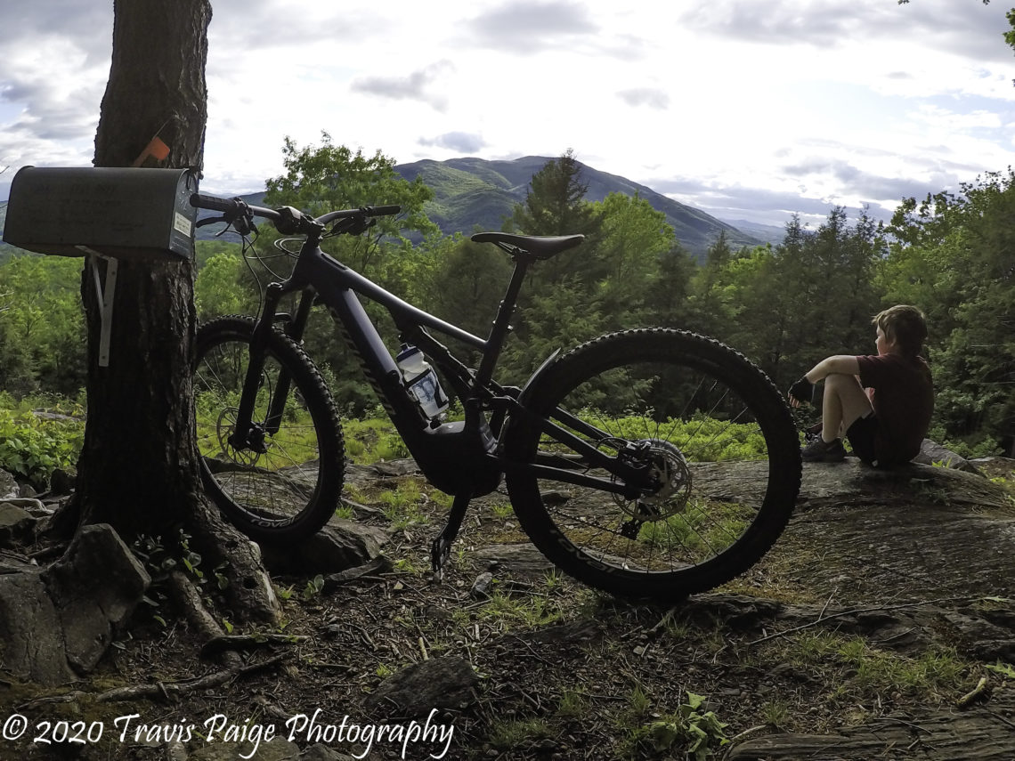
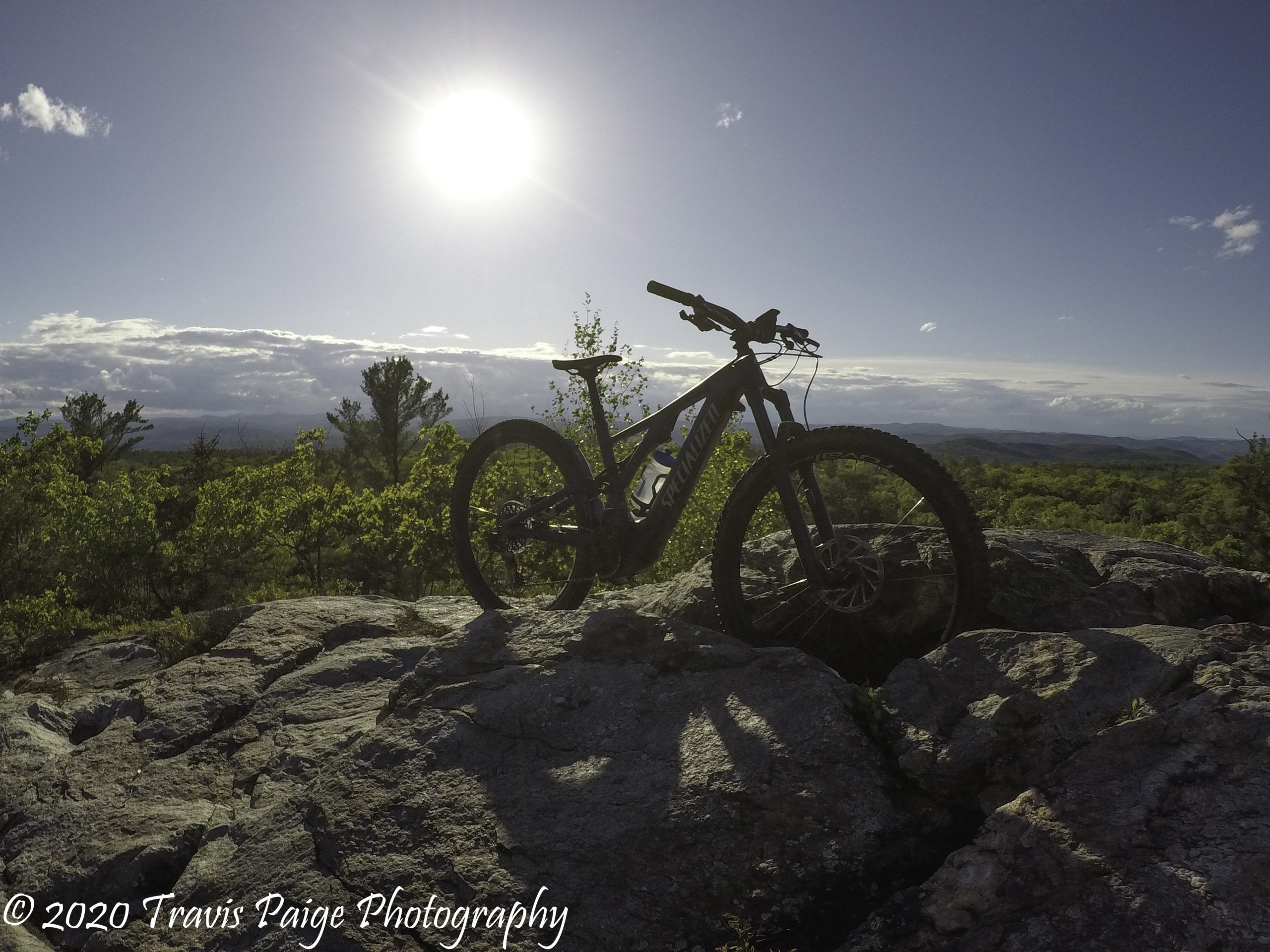
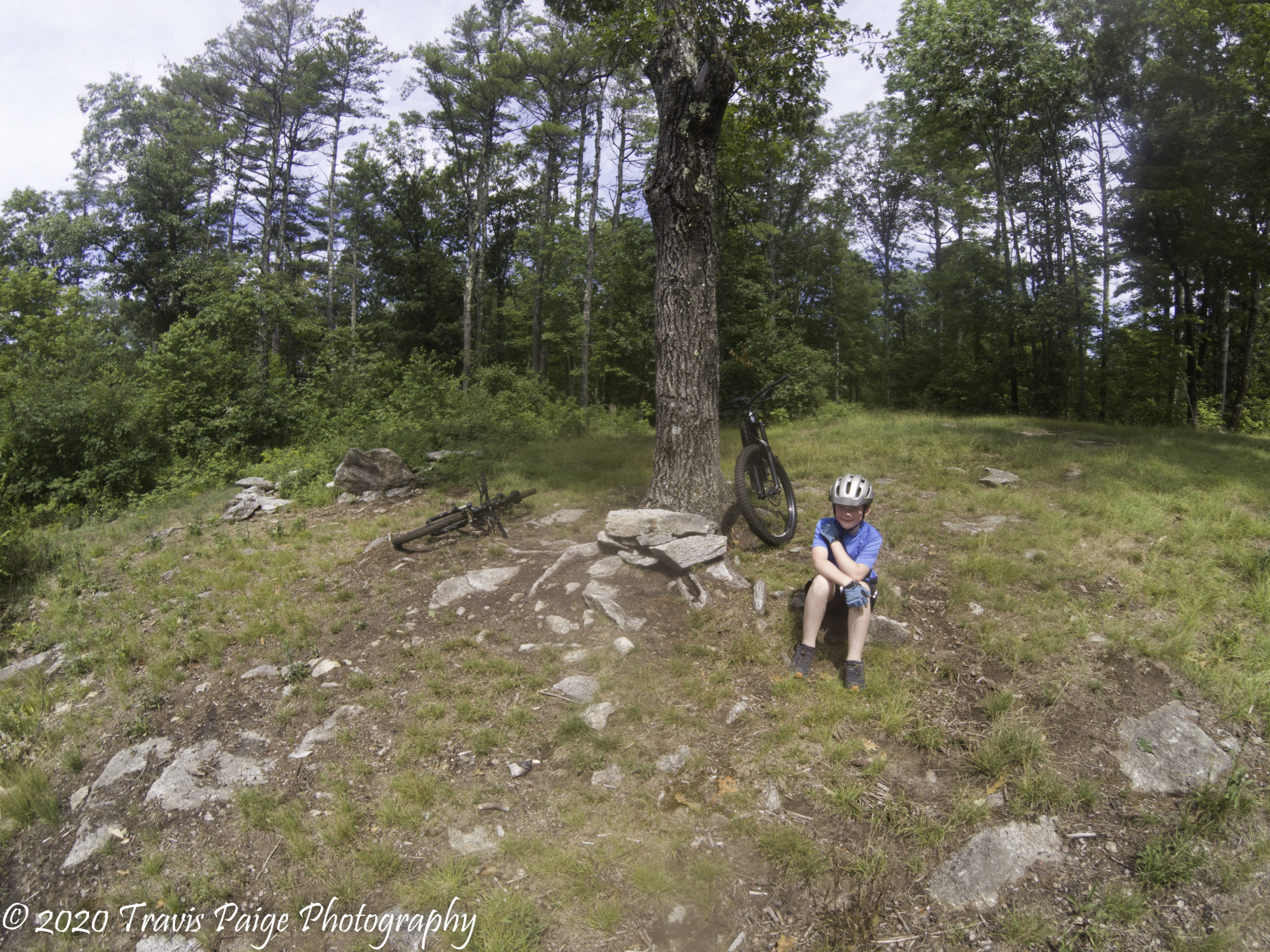
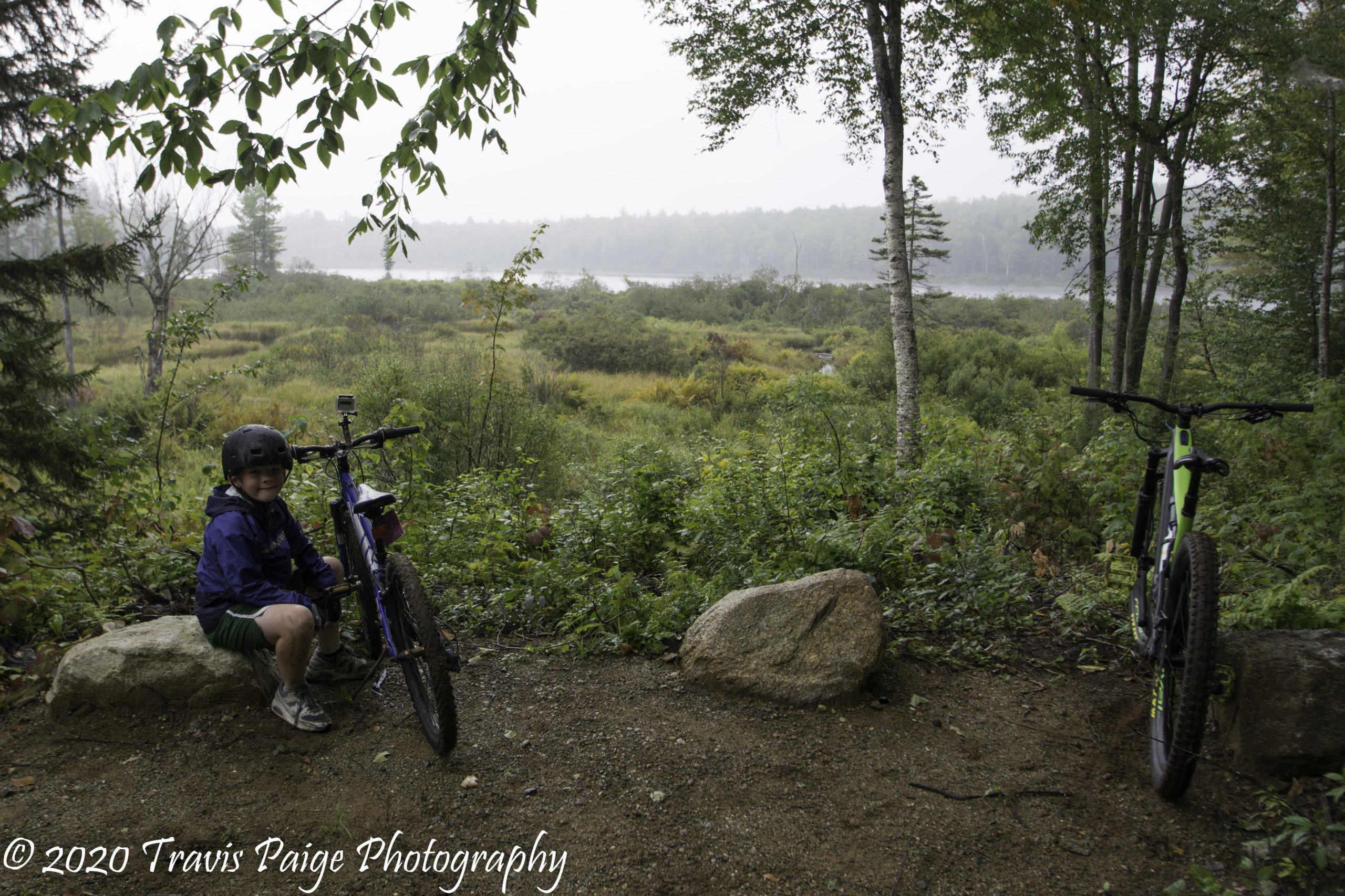
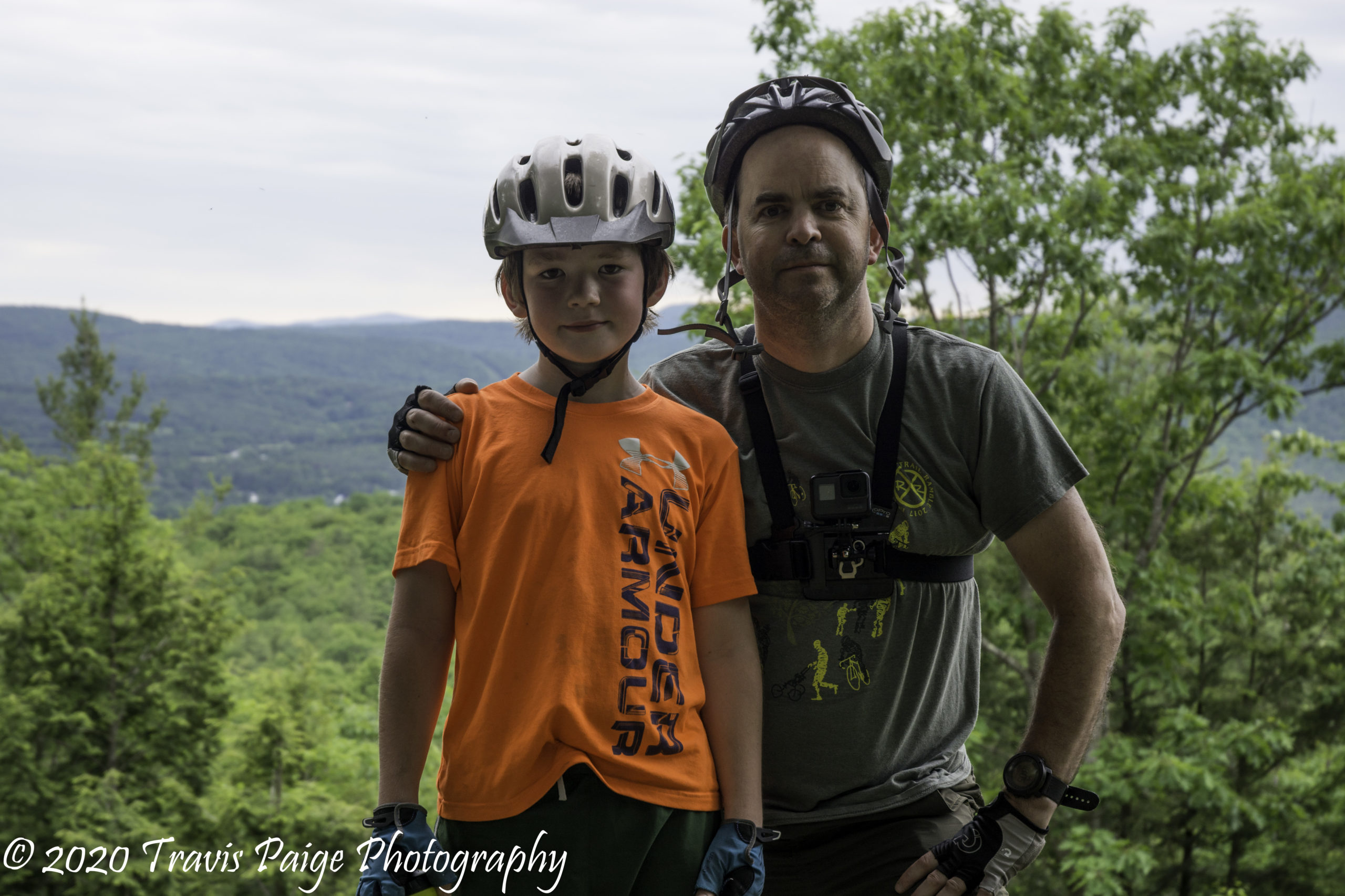
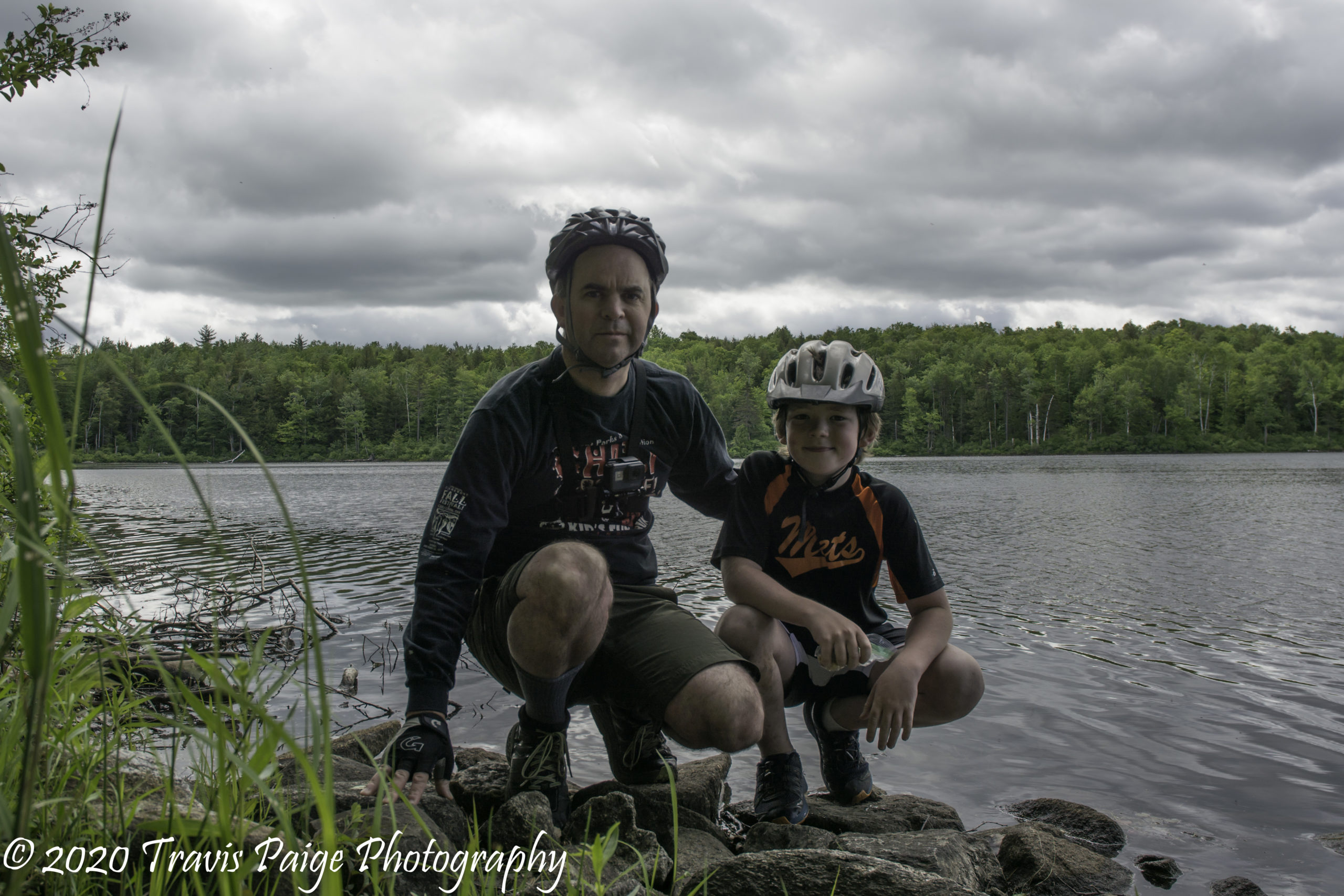
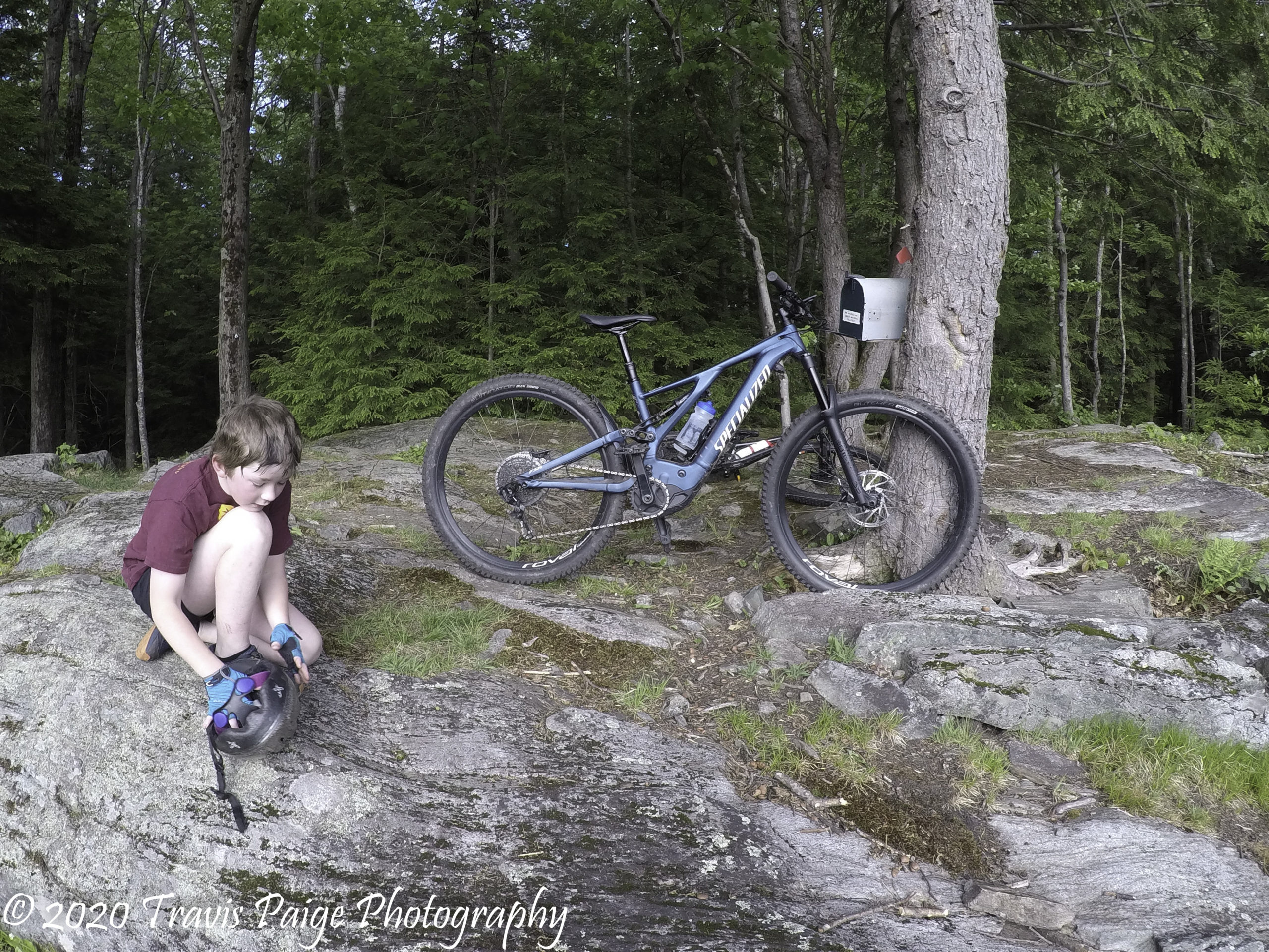
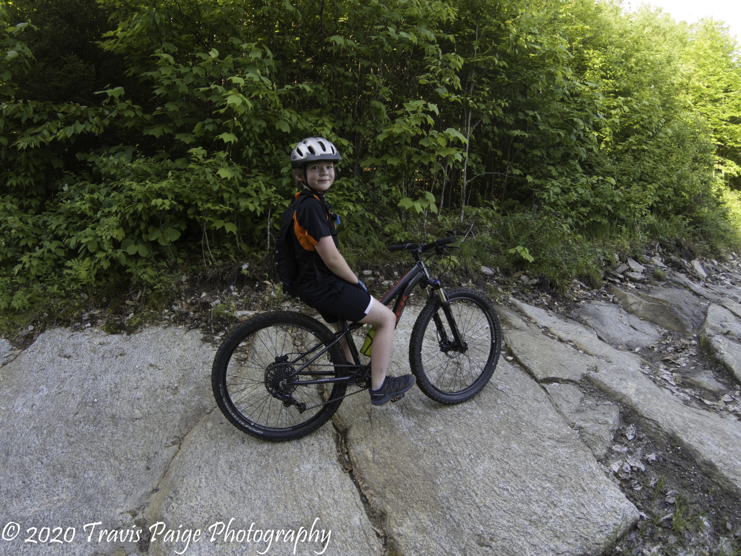
When my son first became interested in mountain biking last year, I wanted to be part of his learning experience. My old bike was about 25 years old. Although it served me well for all those years, I quickly found out that it was inadequate for all of our adventuring needs. I began to research and (with my wife’s begrudging agreement) purchase the correct bikes, tools, and gear. Now the fun begins!
After riding the few Upper Valley mountain biking trails that we knew, we wanted to explore and discover new places. By searching online, talking to friends, and other riders, we discovered that the Upper Valley has many places to shred, but not all easily found on the Internet. Not to worry, I want to share my newfound knowledge of all these great spots! Here are twenty locations that are all within a forty-minute drive from Lebanon, NH starting with the closest. They include places large and small, from easy to hard.
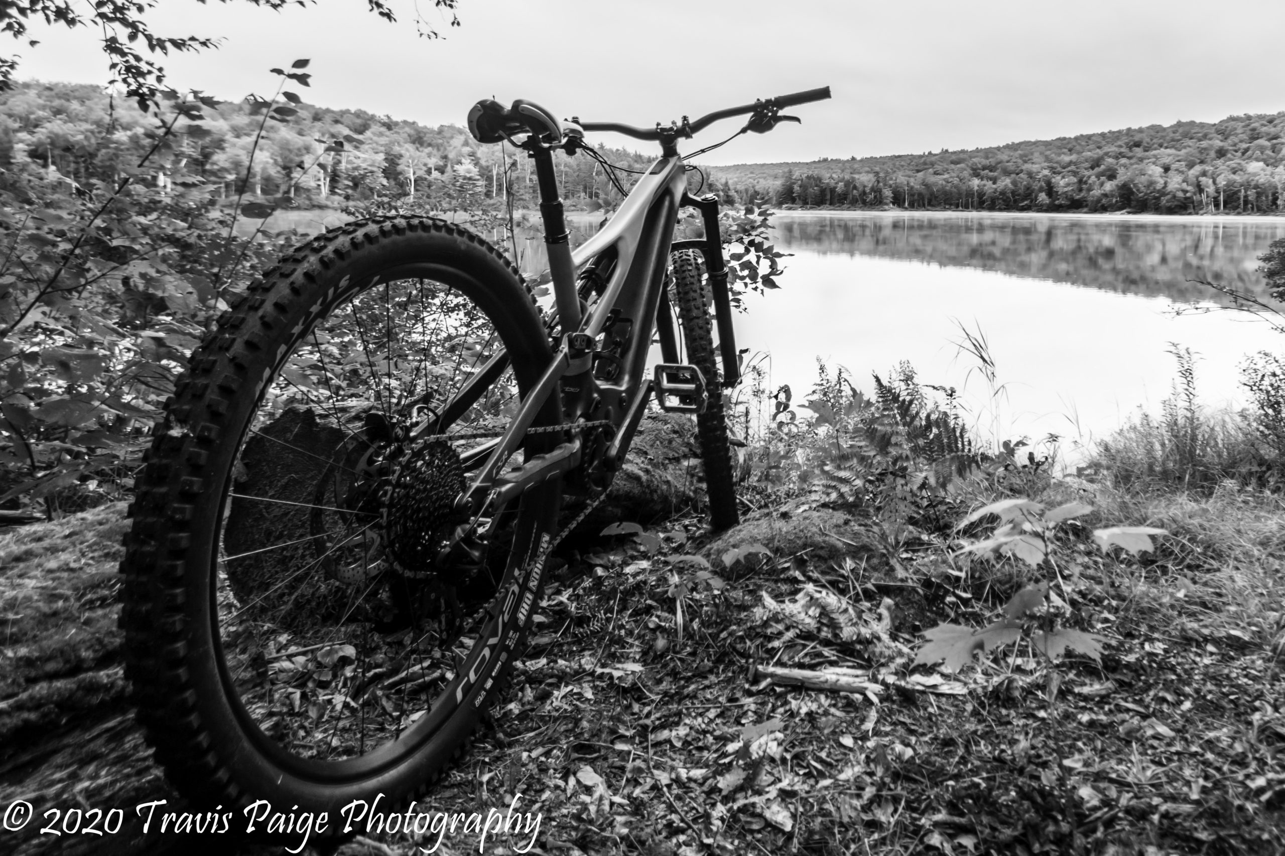
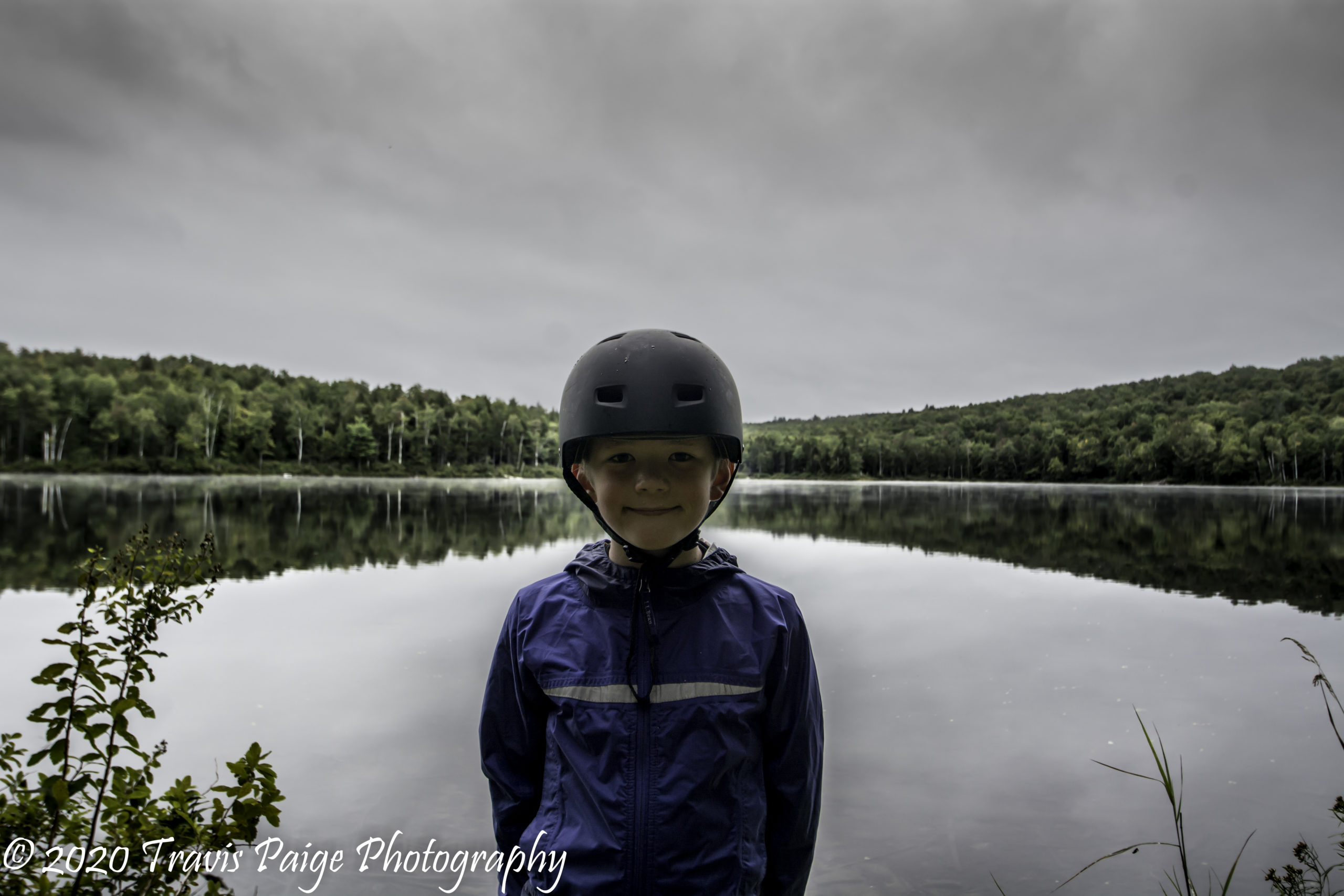
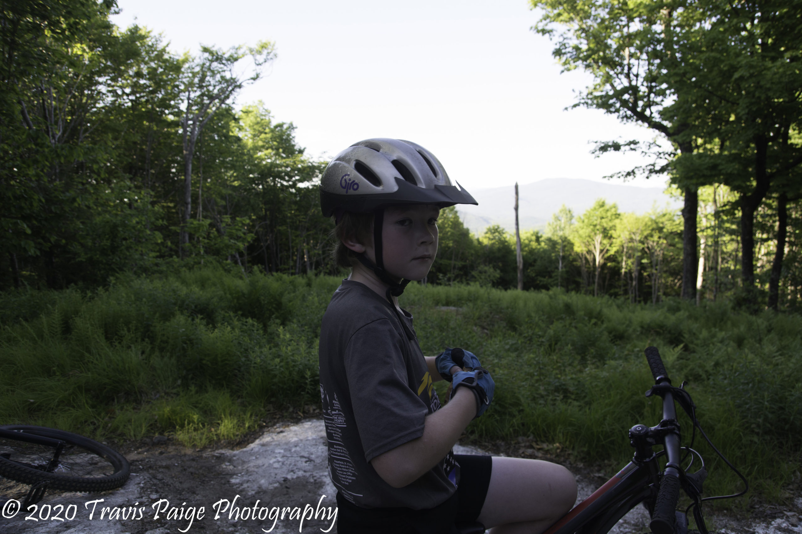
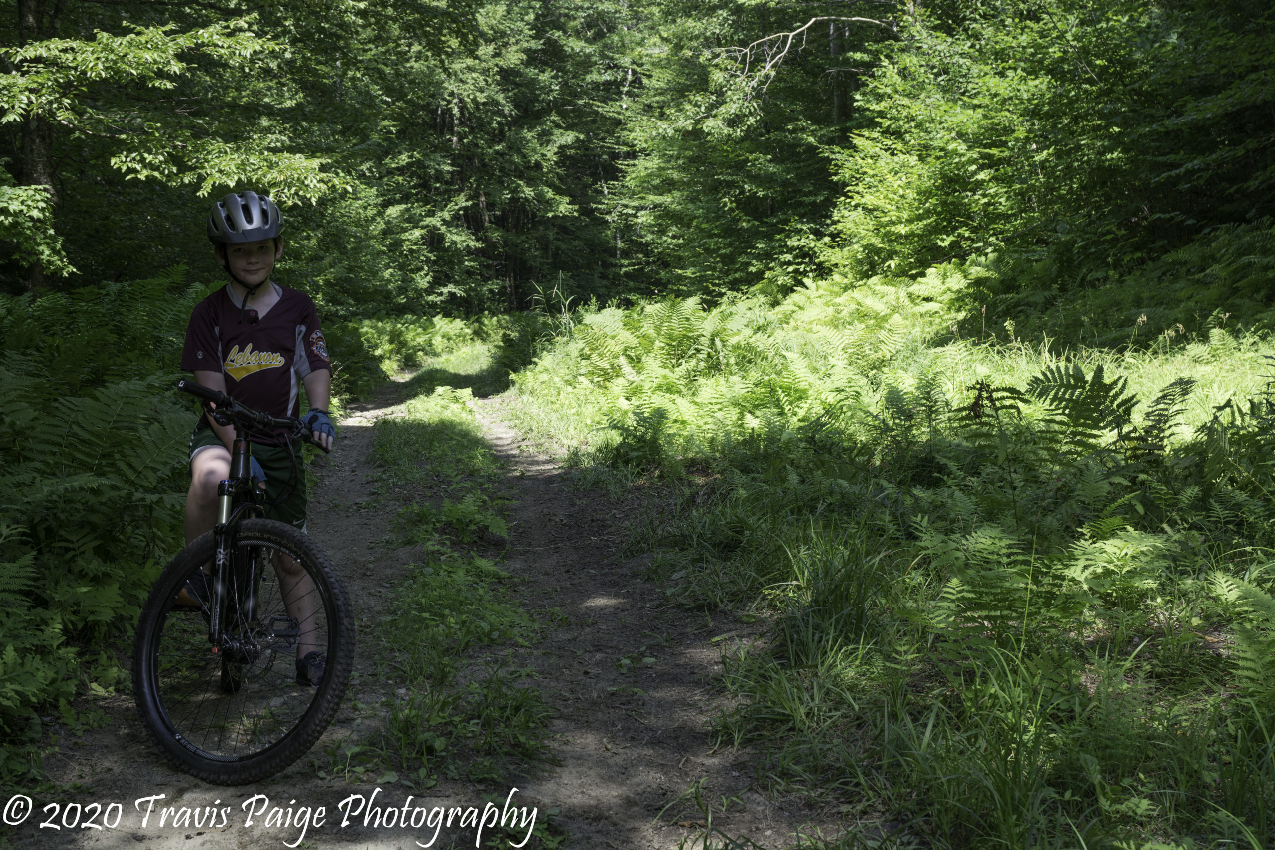
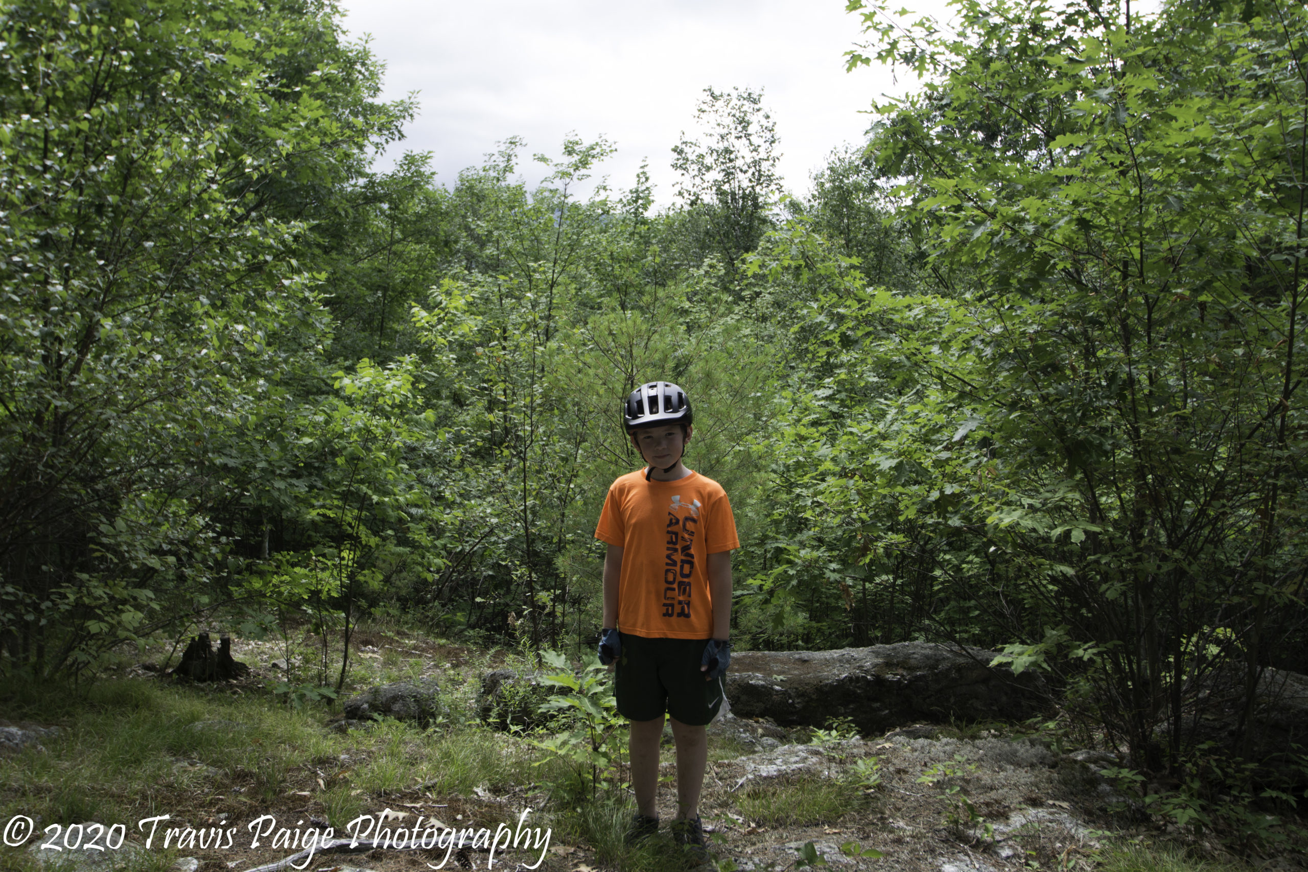
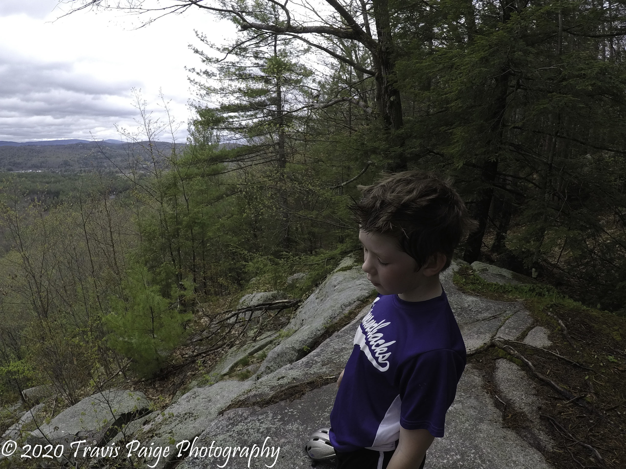
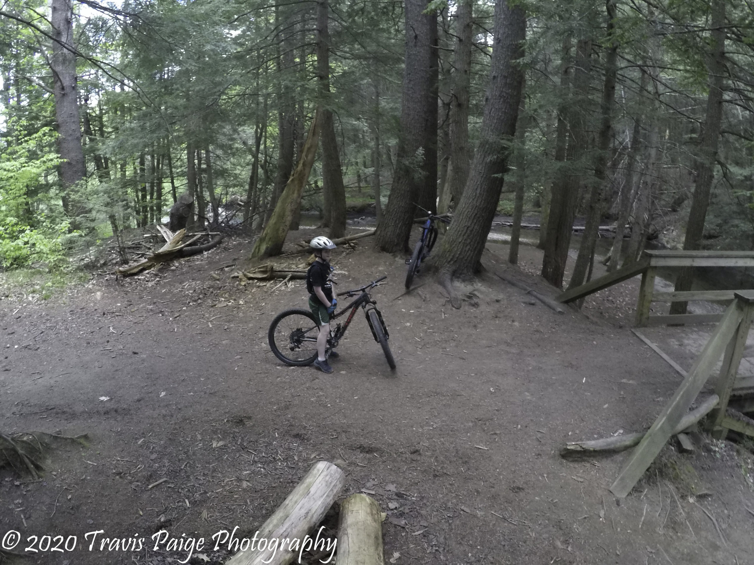
A collection of images, some candid, from our adventures can be found here.
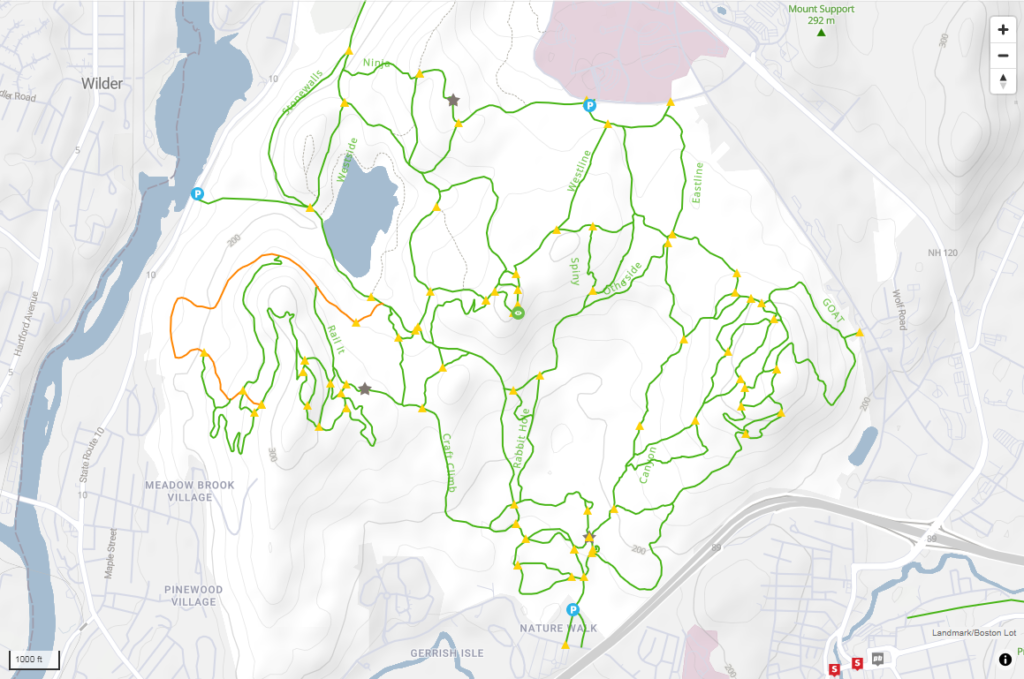
1. Boston Lot/Landmark Lands
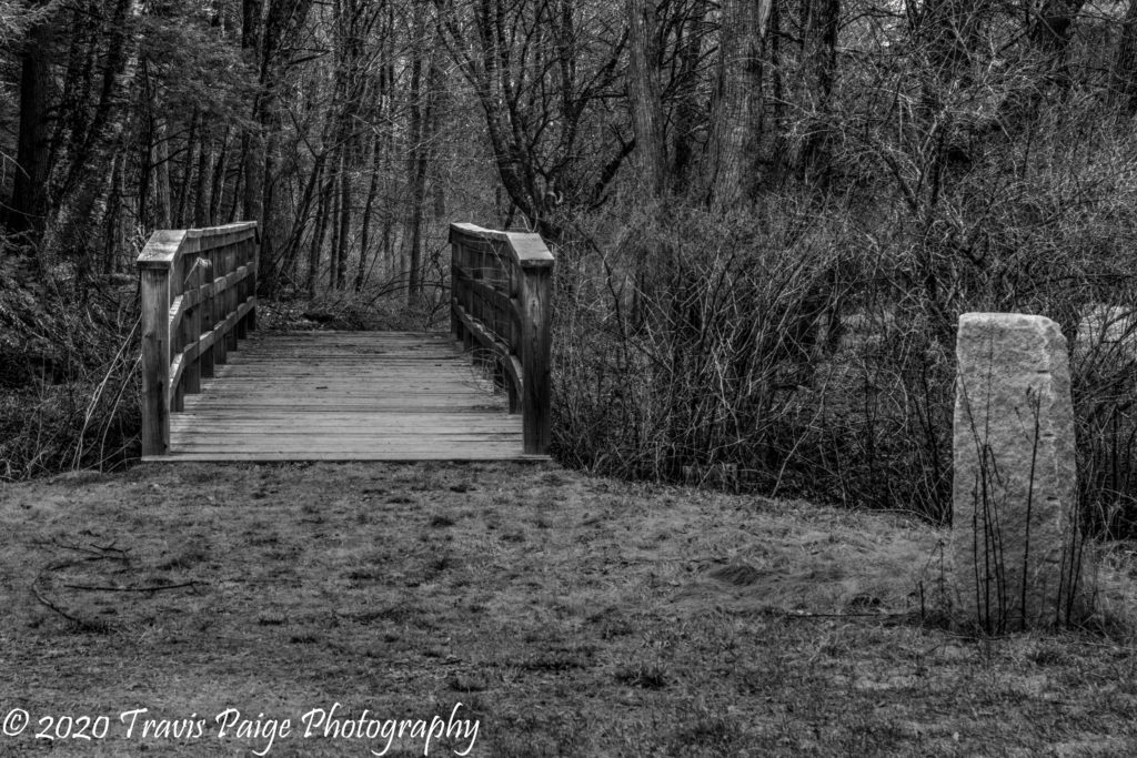
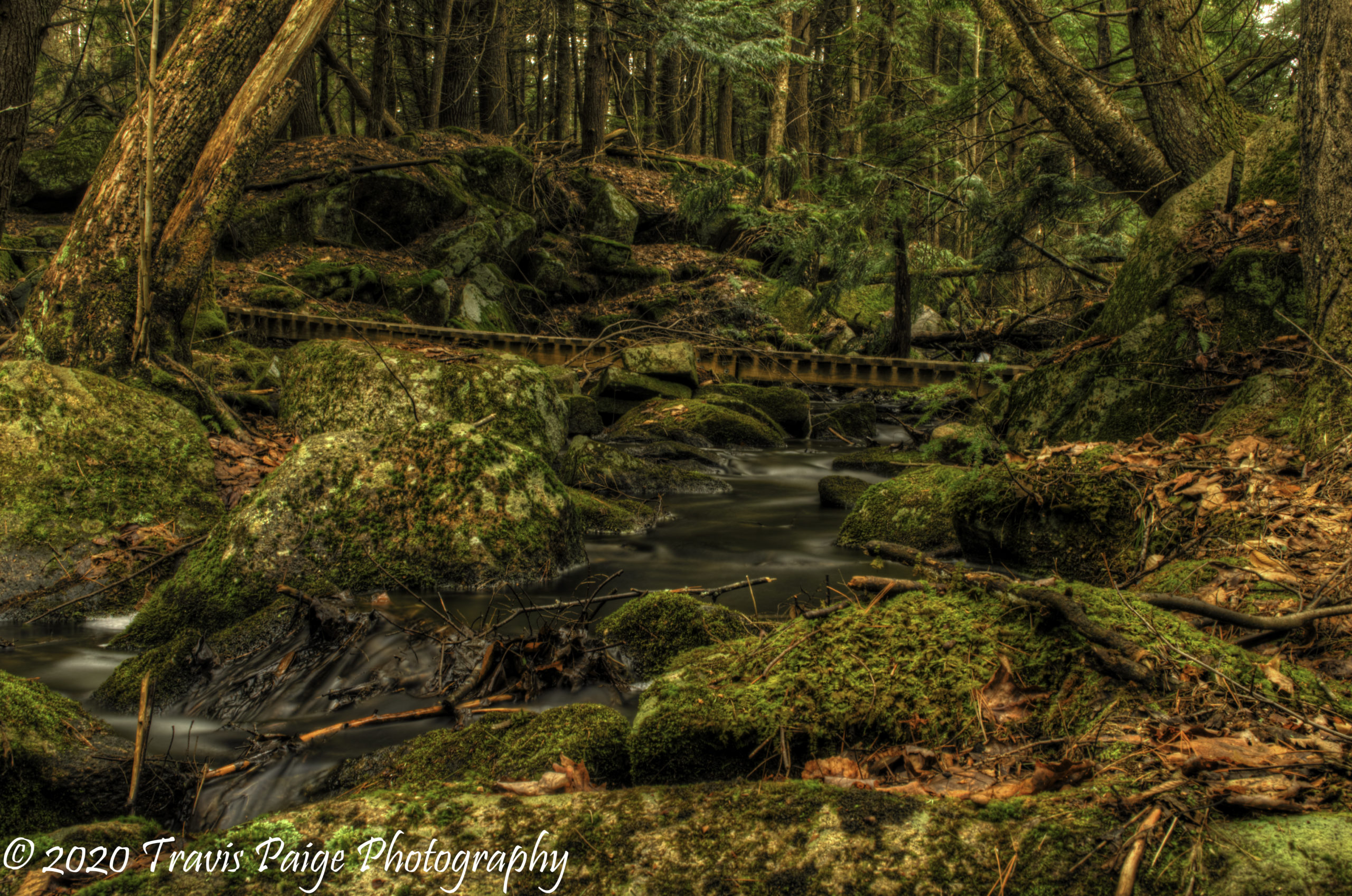
One of the many bridges.
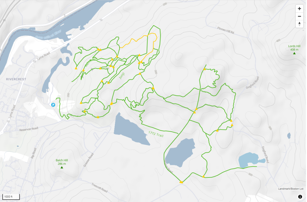
The Landmark/Boston Lot trail system is probably the most popular in the Upper Valley due to its location, size, and range of trail diversity. It attracts riders looking for a technical ride with roots, rock gardens, steep climbs, and other gems of nature. The trail network is maintained by the Upper Valley Mountain Bike Club with the land mostly owned by Dartmouth College (I believe the land was granted to the college back when the town and college were first being formed). The land around Boston Lot Lake and the Nature Walk trailhead is owned by the city of Lebanon.
Our favorite trails are the rocky and technical ones around the old quarry. The lower trails near the Nature Walk trailhead called Sherwood Forest offers some easier trails and a small skills park.
Location: Lebanon, NH Acreage: Approx. 2,500 Number of Trails: 83 Miles of Trails: Approx. 32 Skill Level: A few Easy Trails, but mostly Intermediate to Expert Features: Boston Lot Lake (swimming, fishing, and camping with permit), views from Burnt Mountain, and the Old Quarry.
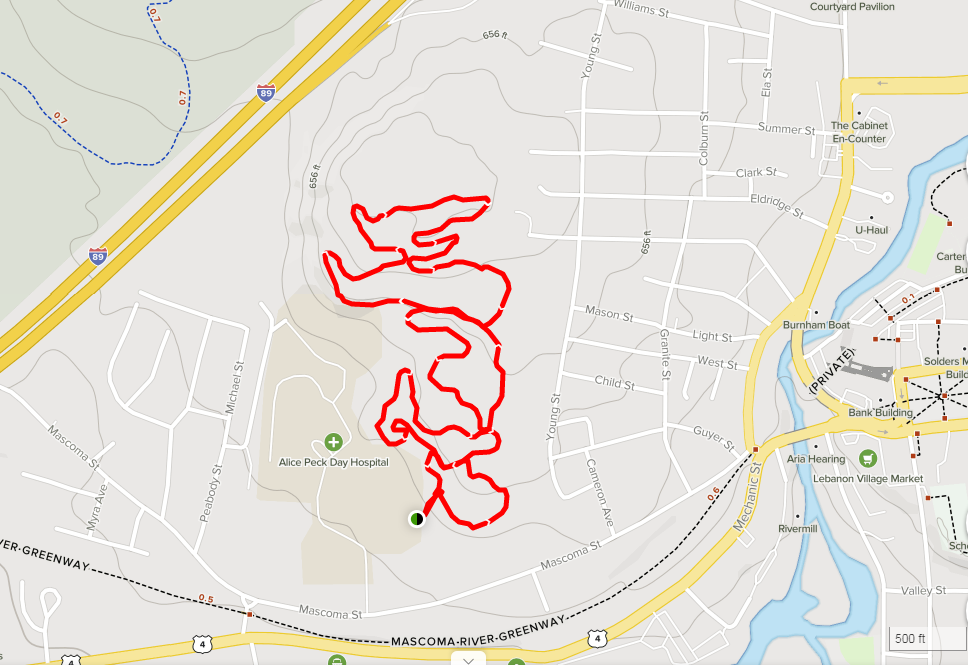
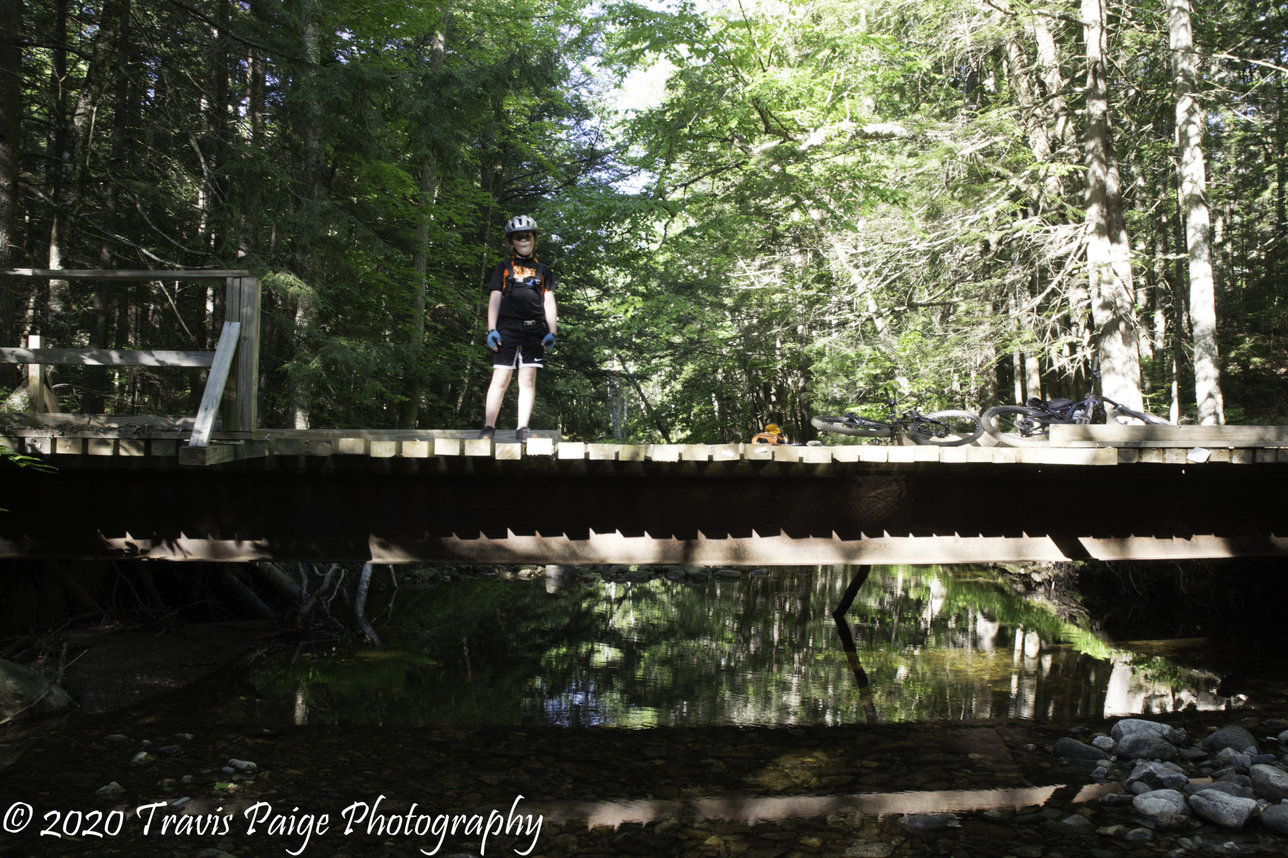
These multi-use trails are nestled between Alice Peck Day Hospital, I-89, and downtown Lebanon, consisting mostly of a wide looping double track with singletracks connecting the loops. A great place to bring the young ones who are just starting to learn how to mountain bike.
Bridge Leading to the trails from Farr Field Hanover, NH
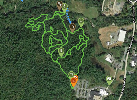
If you are looking for a quick technical ride that is less traveled, this is the spot – it has rolling terrain with a lot of rocks and you can’t forget about the roots. My son and I created a new mountain biking term called “rootified” and it describes this place perfectly. “Rootified” is when your bike slips on roots and you either stop or fall down. It borders Mink Brook and Hanover’s Farr Field, which is another entry point onto the trails. Did I mention there were a lot of rocks?
Trailheads: Hypertherm (park in the upper parking near the kiosk, but not on the basketball court) Farr Field
Location: Hanover, NH Acreage: Approx. 150 Number of Trails: 4+ Miles of Trails: Approx. 2.6 (Plus the trails on Rix Ledges) Skill Level: Intermediate to Expert Features: Mink Brook, Farr Field (picnic tables and baseball field), and many erratics.
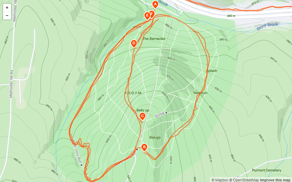
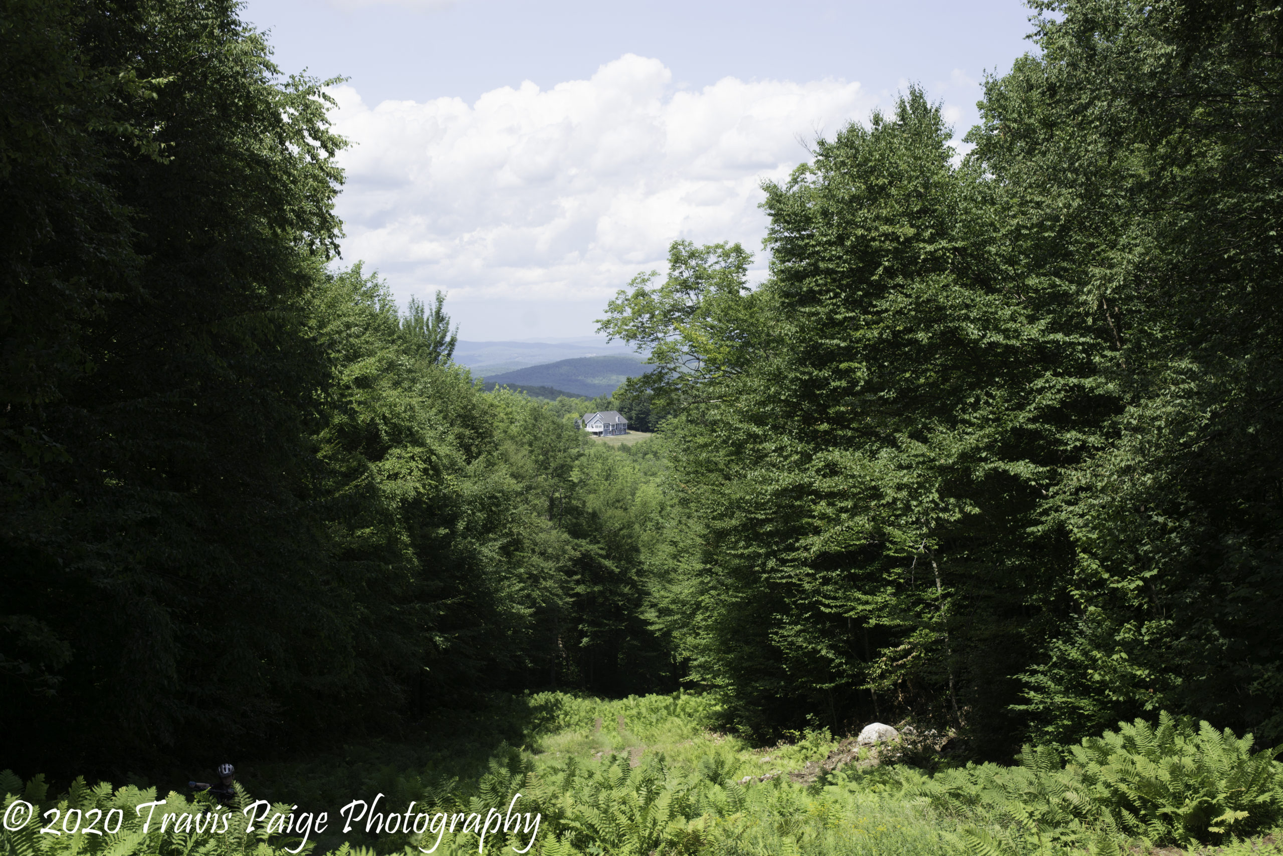
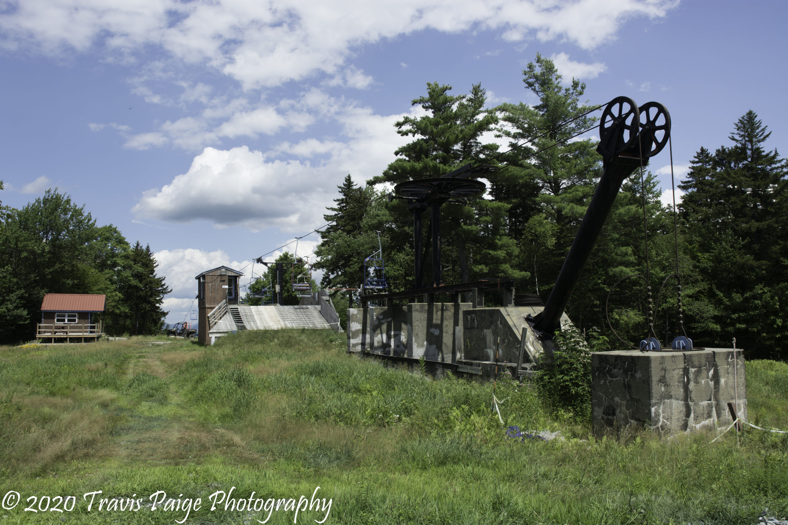
Just recently, Whaleback built three trails on their mountain. With 700 feet of vertical incline, it offers a unique downhill experience that is not found anywhere else in the Upper Valley. It is also a great workout to get to the top. Currently, there is one trail to the top and two downhill trail options and I would rate them as intermediate to expert. Be warned there are a few surprises like steep drops, ledge, and sharp corners. If you ride a hardtail, they might rattle you a bit. To find the uphill trail, ride up the Ivory ski trail (all the way to the right). About three-quarters of the way up bear left onto the singletrack that switchbacks up to the top. At the lift stay to the right and the trail starts on the top of the Whaletail ski trail.
Unfortunately, there are no maps yet - Some Strava routes
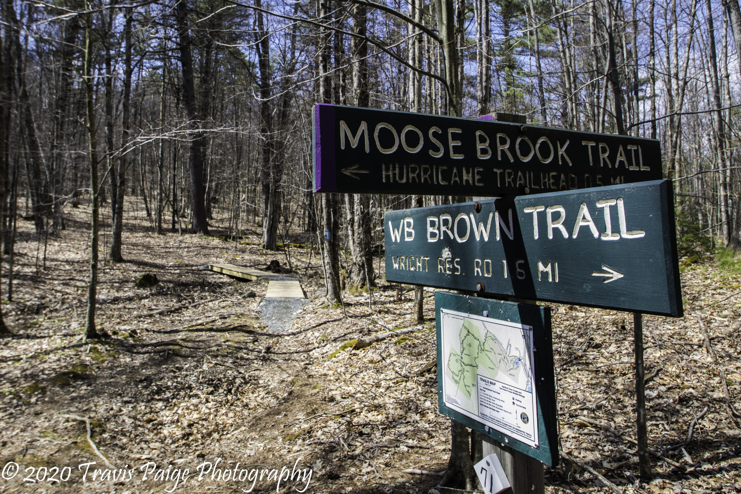
5. Hurricane Hill - Hartford Town Forest
Trail crossing at Hurricane Hill
Hurricane Hill in Hartford has a little bit of everything in a small package. Large enough to get a nice long ride in, but small enough that you will not get lost. The main parking area is centrally located, so you can easily go back for lunch or quickly get back to your vehicle if there is an impending storm or you forgot something. Throw in some natural single and double track trails, a few reservoirs, hills and you have yourself a beautiful afternoon.
Location: Hartford, VT Acreage: Approx. 423 Number of Trails: 30+ Miles of Trails: 12.5+ Skill Level: Novice to Intermediate Features: Reservoir, brooks, and old tower.
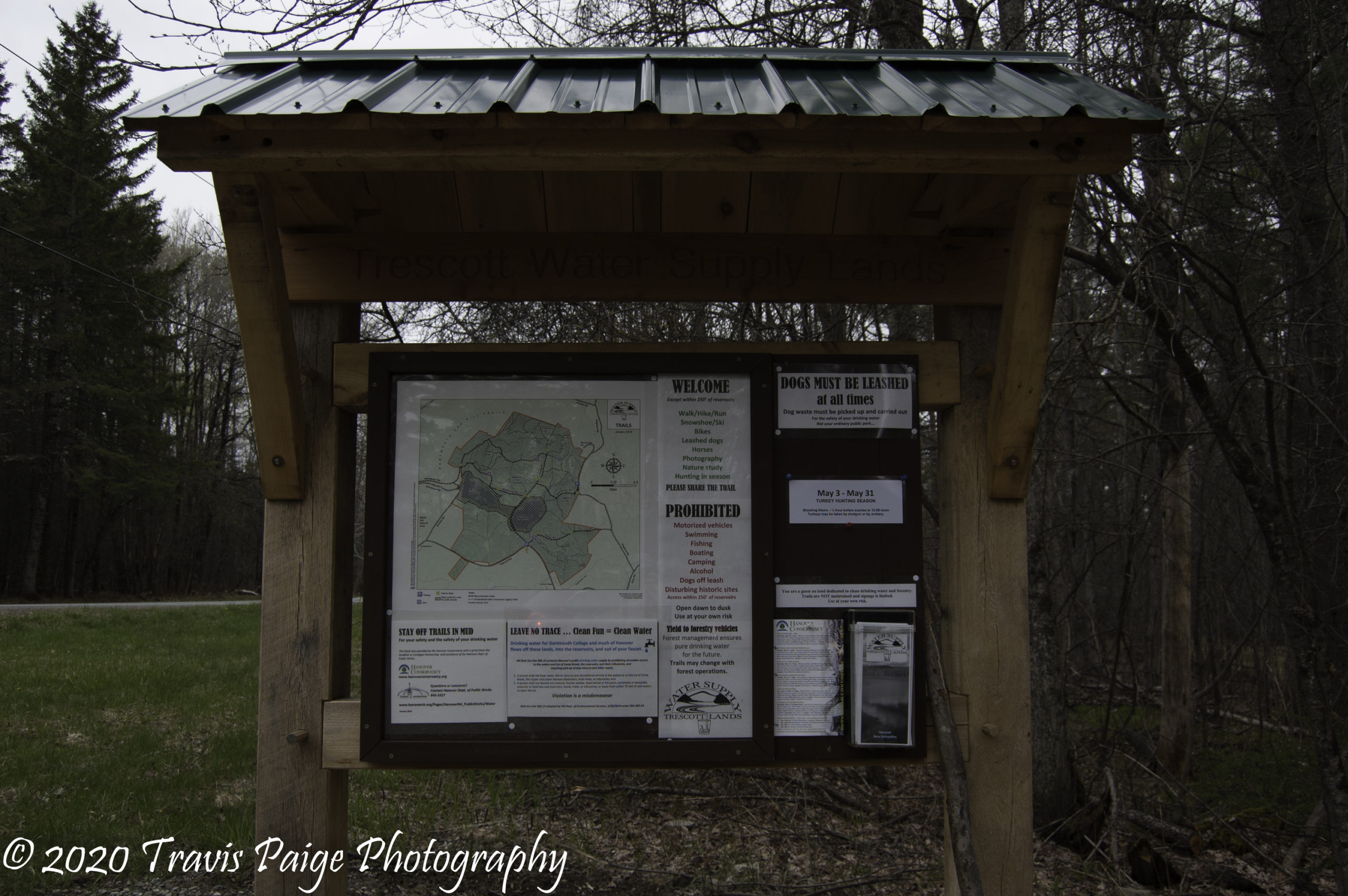
The Oak Hill and Trescott Lands adjoin each other, and both offer an abundance of easy to intermediate flowing trails. At Oak Hill the singletrack trails are oldies, but goodies and some of the trails double as X-country ski trails in the winter. They do go through many open fields and grass, so watch out for ticks trying to hitch a ride and make sure to carefully check yourself for them once you are finished. The trails on Trescott Lands offer a mix of doubletrack and singletrack, with most of the trails being mellow. There is a bit of a climb if you take the Knapp Road to the top. These are great trails for beginners and a family-friendly ride.
Location: Hanover, NH Acreage: Approx. 1000 Number of Trails: 29+ Miles of Trails: 29+ Skill Level: Novice to Intermediate Features: Reservoirs, open fields, and Storrs Pond Recreation Area.
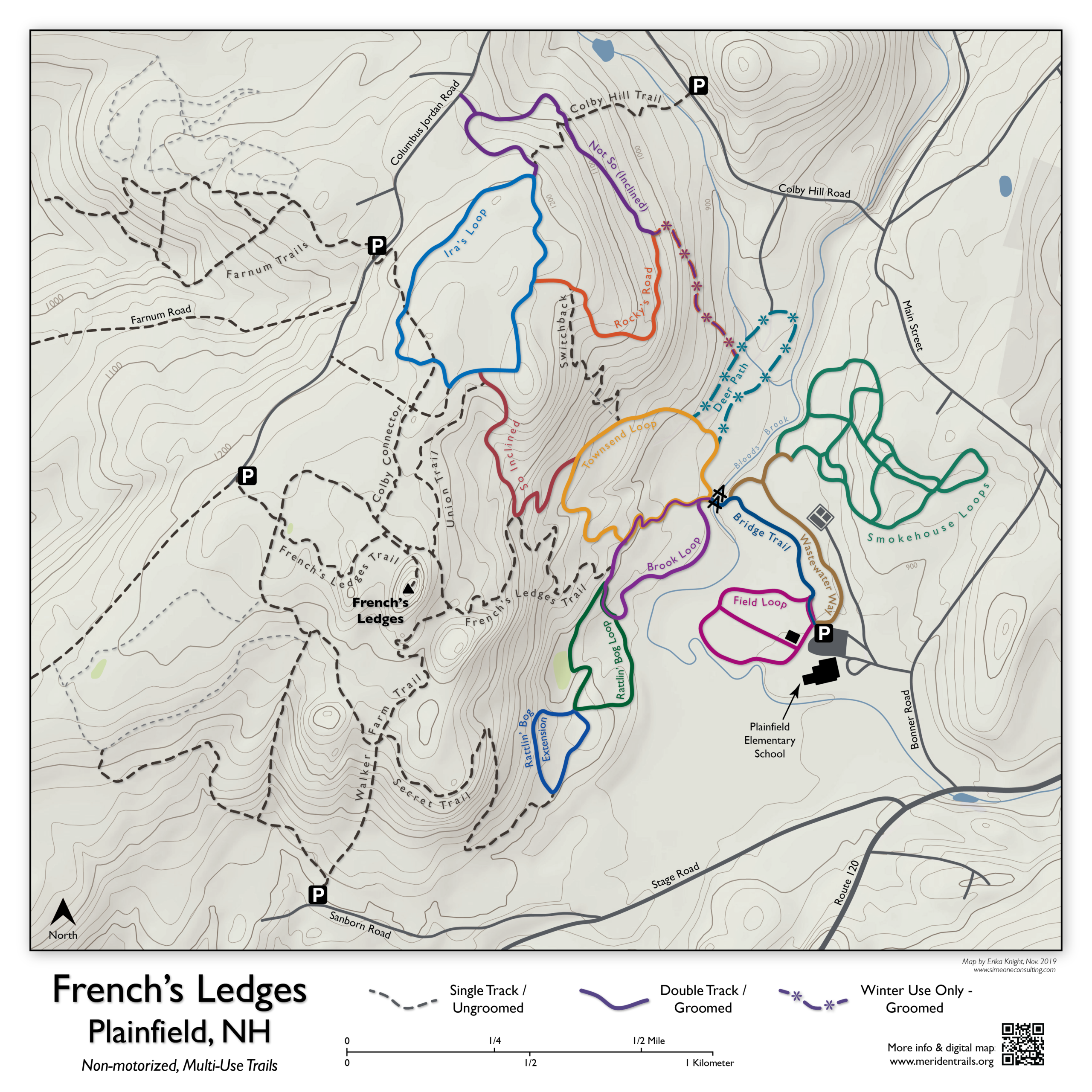
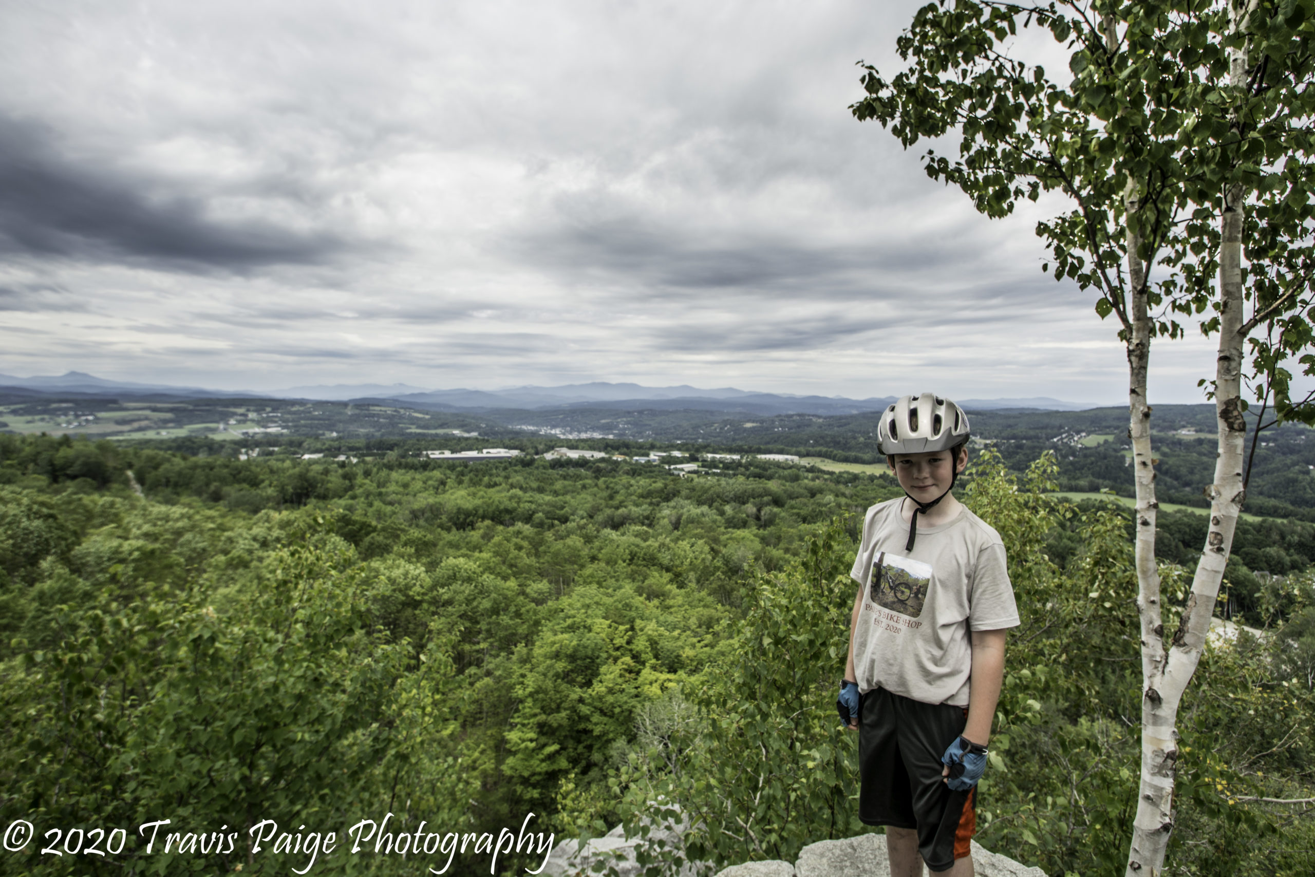
The French’s Ledges and Farnum Hill Trail Network are probably one the best in the Upper Valley and is my son’s favorite. It has a nice winding double track to get you to the top and there are 360-degree views from the ledges. There is also the old KUA ski hill to explore and the option to take a dip below the Meriden Covered Bridge, a popular swimming hole.
On the other side of Columbus Jordan Road, there is another trail network on Farnum Hill. New trails have been built there recently. With this, comes unmarked trails, so there is some adventure to see where they go and also some Class VI roads to explore.
Our favorite trail is the Secret Trail which gives you quite the rush coming down off the hill. I recommend using the school or Columbus Jordan (North) trailheads.
Location: Plainfield, NH Acreage: Approx. 143+ Number of Trails: 20+ Miles of Trails: 12+ Skill Level: Mostly novice to intermediate with a few expert trails Features: Great views, old ski hill, Blood Brook, and a swimming hole nearby.
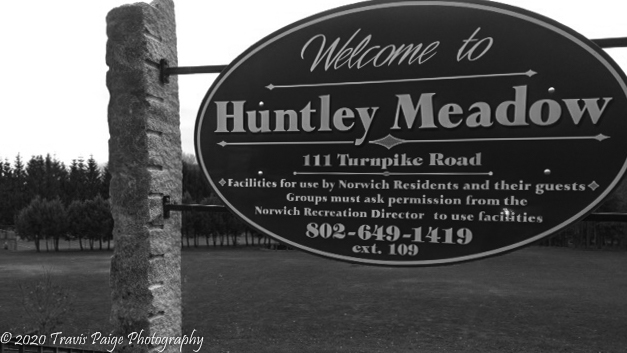
A great place to bring the younger folk. A singletrack trail that loops Huntley Meadows and includes a small pump track located behind the baseball field. It has several rollers and three berm corners. The parents (if they are not riding) can enjoy a pleasant stroll around the meadow.
Location: Norwich, VT Acreage: Approx. 52 Number of Trails: 1 Miles of Trails: .7 Skill Level: Easy Features: Playing fields, Bloody Brook, and pump track.
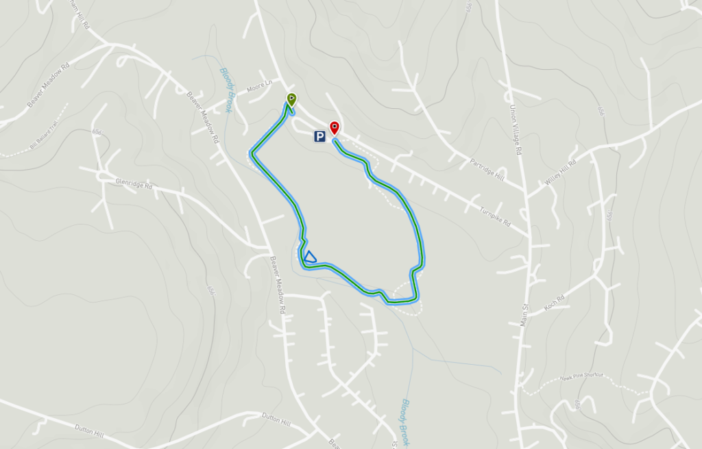
9. Gile Mountain, Blue Ribbon Trail, Brookmead Conservation Area, and Parcel 5
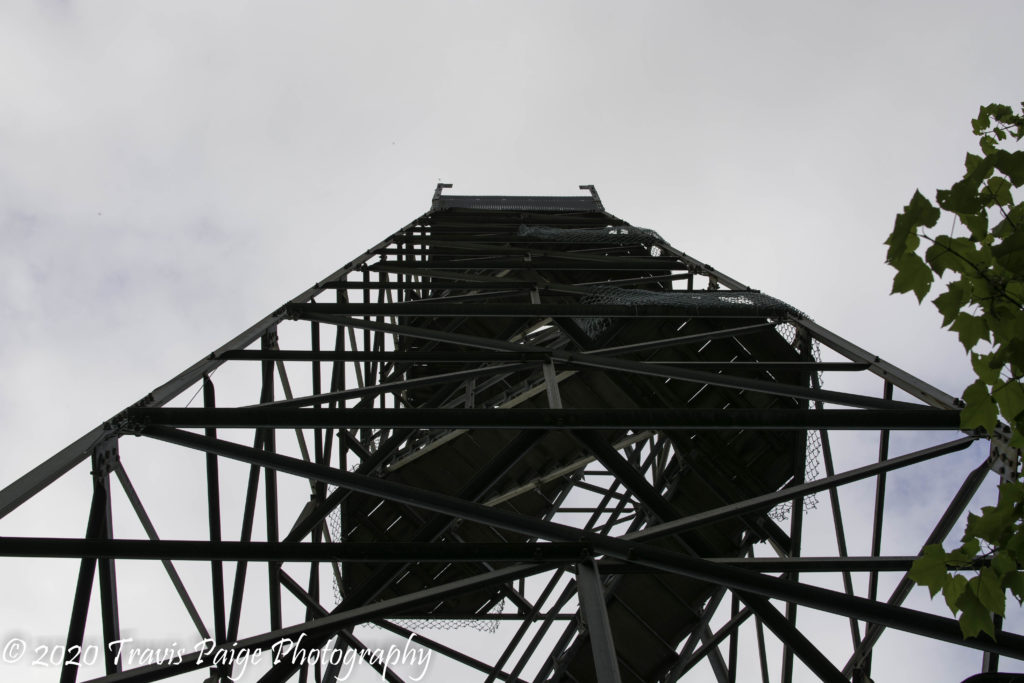
Looking up at the Gile Mountain Fire Tower
This location offers the chance to do a long loop ride that has a little bit of everything. These four areas are all interconnected. Starting at the north is Gile Mountian, with its 1.3-mile trail rising from Turnpike Road to the top. The main notable feature here is the accessible fire tower.
Between Gile Mountain and Beaver Meadow Road, or the Brookmead Conservation Area, is the Blue Ribbon Trail, a beautiful up and down singletrack riding along the ridgeline. About four miles into the Blue Ribbon ride, you can go right onto Beaver Meadow Road or turn left and take the 1.3-mile Blue Ribbon Passage Trail to the Brookemead Conservation Area, which contains about three miles of singletrack and old logging roads. If you stay east, you can take the Norwich Farms Connector to their public parking area. Proceeding to the south will connect you with the Parcel 5 trail double-track 5K loop. South of Parcel 5 there, are two connector trails connecting to Tilden Hill Road.
I would recommend parking at the Upper Valley Land Trust’s Parking Area, riding north on Turnpike Road to Gile Mountain, and coming back on the Blue Ribbon Trail, Blue Ribbon Passage, Brookmeade Main Loop, and Norwich Connector Trails back to the parking area (approx 11 miles).
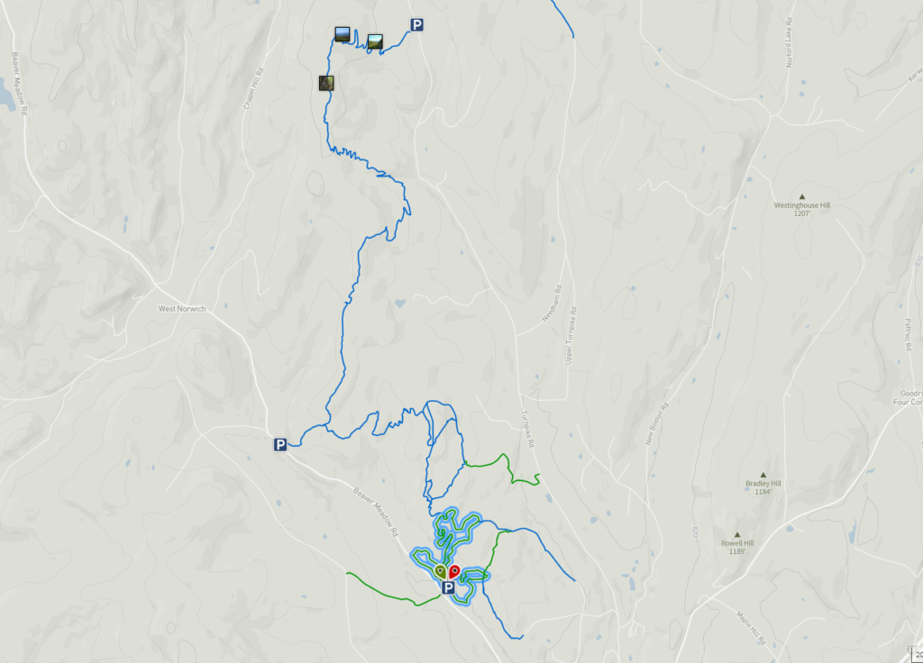
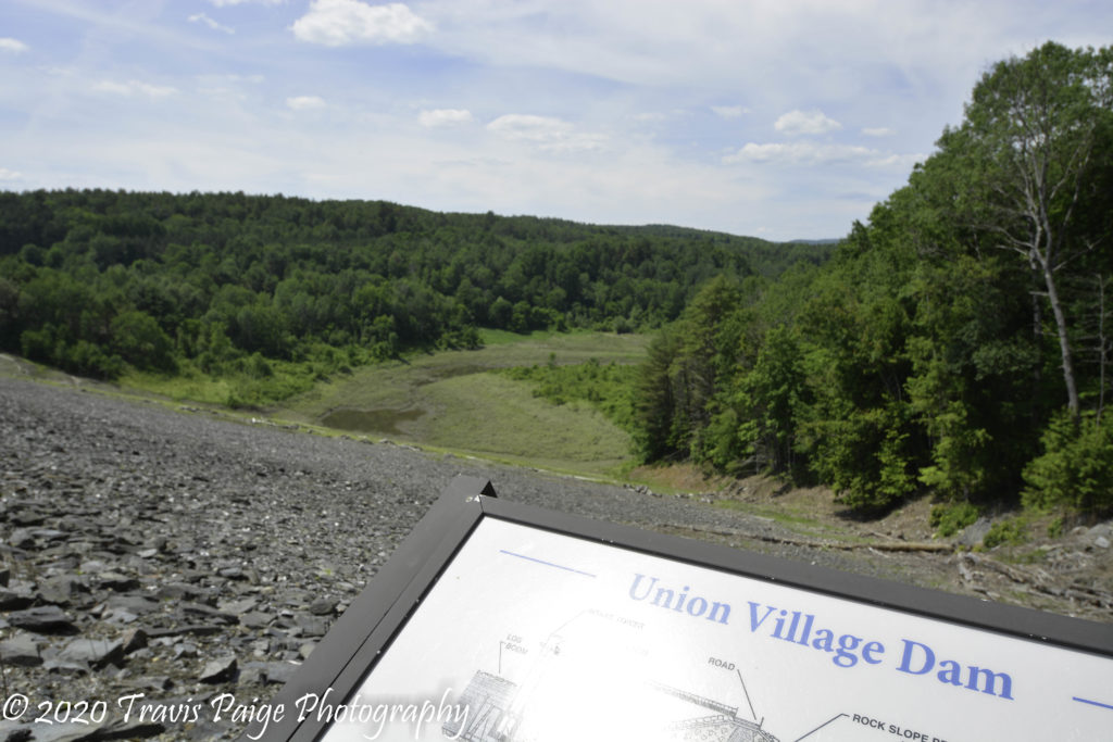
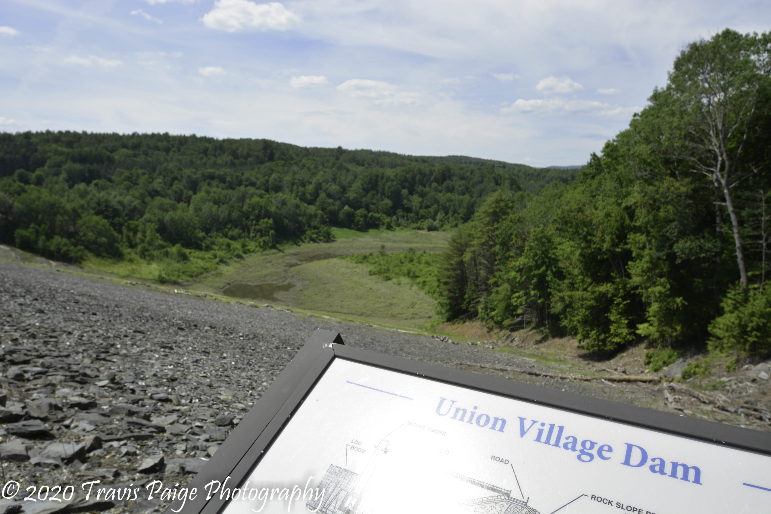
Are you looking for a nice bike ride and a swim? This is the place for you. The Army Corps of Engineers owns over 800 acres along the Ompomanoosuc River between the Union Village Dam and Thetford Center with trails on both sides of the river. The Buzzell Bridge Road, a closed-off dirt road runs down the middle with trails branching off. I was not able to find any detailed maps online, but there are plenty of singletrack trails.
Our favorite trail is to grab the Forest Management Trail near the base of the paved road, dropping down from the dam heading north. It runs parallel to the road north towards Thetford. There are also two swimming holes along the river, one with a beach.
The best place to park is at the parking area at the gate on Buzzell Bridge Road on the north end. It is a short walk to the sandy beach swimming hole.
Location: Thetford, VT Acreage: Approx. 800+ Number of Trails: 30+ Miles of Trails: N/A Skill Level: Easy to Expert Features: Union Village Dam, swimming holes, picnic areas, and Thetford Center covered bridge.
Map Overview of Union Village Dam and Surrounding Trails
11. Aqueduct Trails
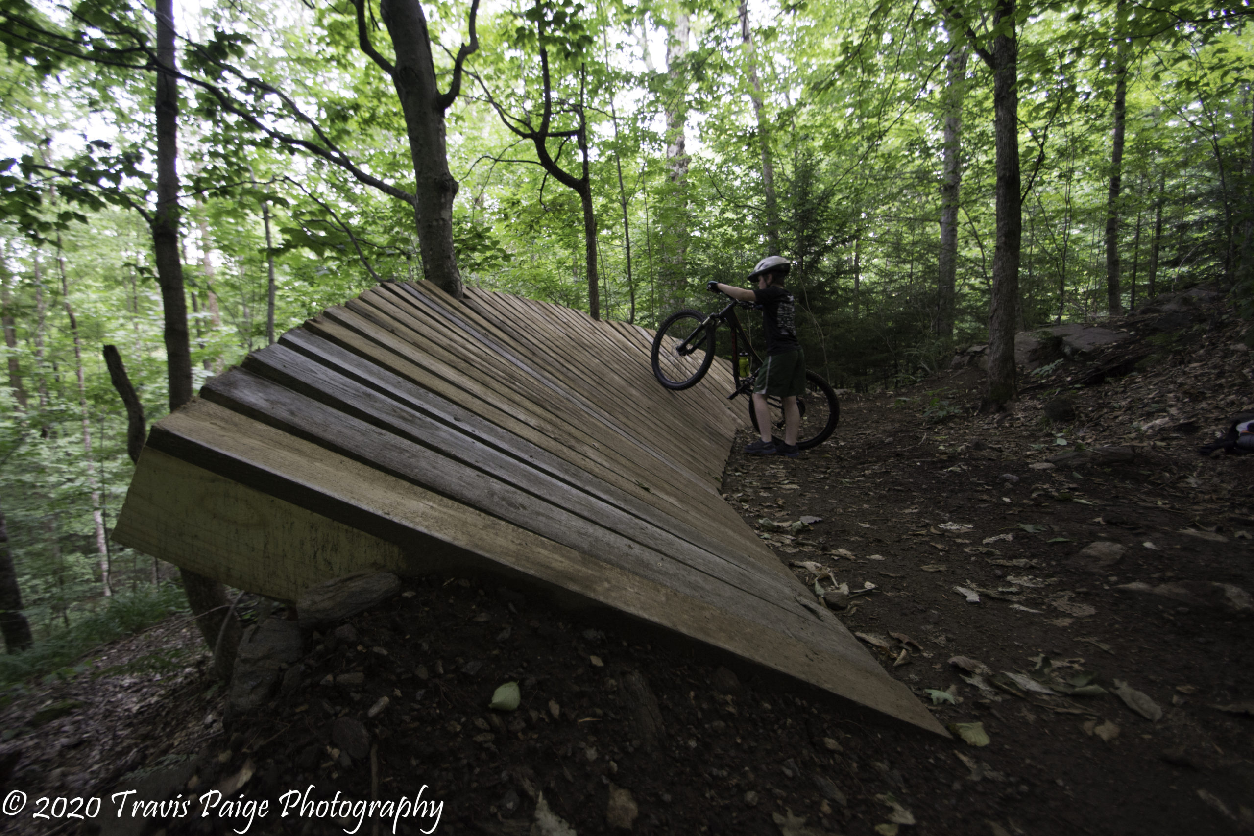
My Son Measuring Up the Wallride
The Aqueduct Trails were a pleasant surprise! Not the largest place to ride, but it is pack-full of hand-crafted quality downhill thrills with berms, drops, and a wallride at the bottom of the Shooter Trail – I believe that this is the only one in the Upper Valley. When we left after the first time, we did not realize we put in close to ten miles. I would recommend riding up the Class VI road to the top to access the trails. It is a steep climb up Stinger to access Shooter and the wallride.
Our favorite trails here are the Shooter, Roller Coaster, and Rum Street.
Location: Woodstock, VT Acreage: Approx. 350+ Number of Trails: 26 Miles of Trails: 7.6 Skill Level: Easy to Expert Features: Reservoir, wallride (shown above), and small pump track.
You are either going to love or hate the trails at Mount Peg. If you are looking for soft flowing trails, you will not find many here. The trails, carved into the hill-side, require a lot of climbing to get to the top of Charlies and Mount Peg. But once you reach the top, you are rewarded with some exhilarating downhill runs. It can also be a little tricky finding your way back to the main parking lot at Knox Meadows because of the horizontal trail layout. At Knox Meadows, there is a skills area that has four practice drops of varying heights. All the trails are managed by the Woodstock Inn & Resort and maintained by the Woodstock Area Mountain Bike Association.
Location: Woodstock, VT Acreage: Approx. 1000 Number of Trails: 47 Miles of Trails: 30+ Skill Level: Easy to Expert Features: Views and a drop skill park.
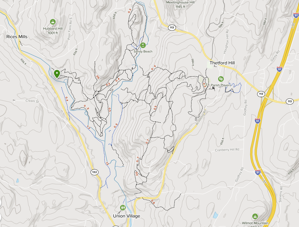
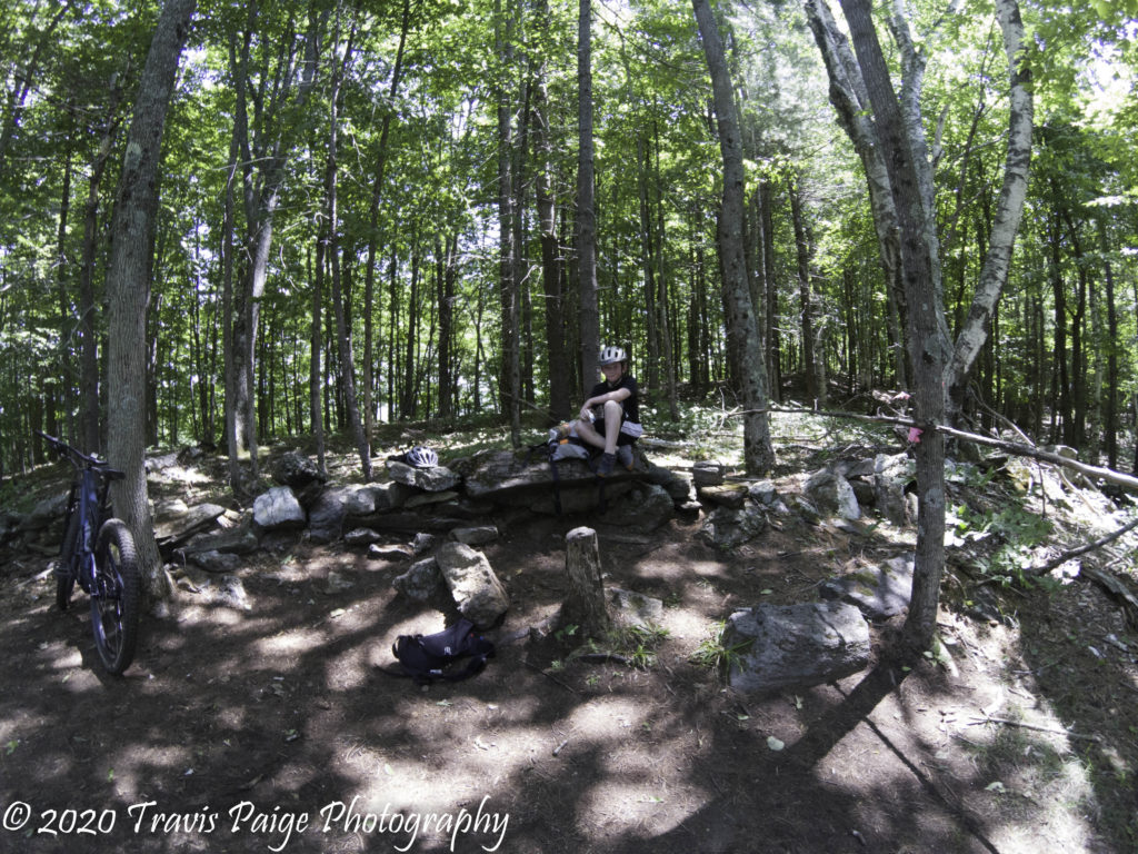
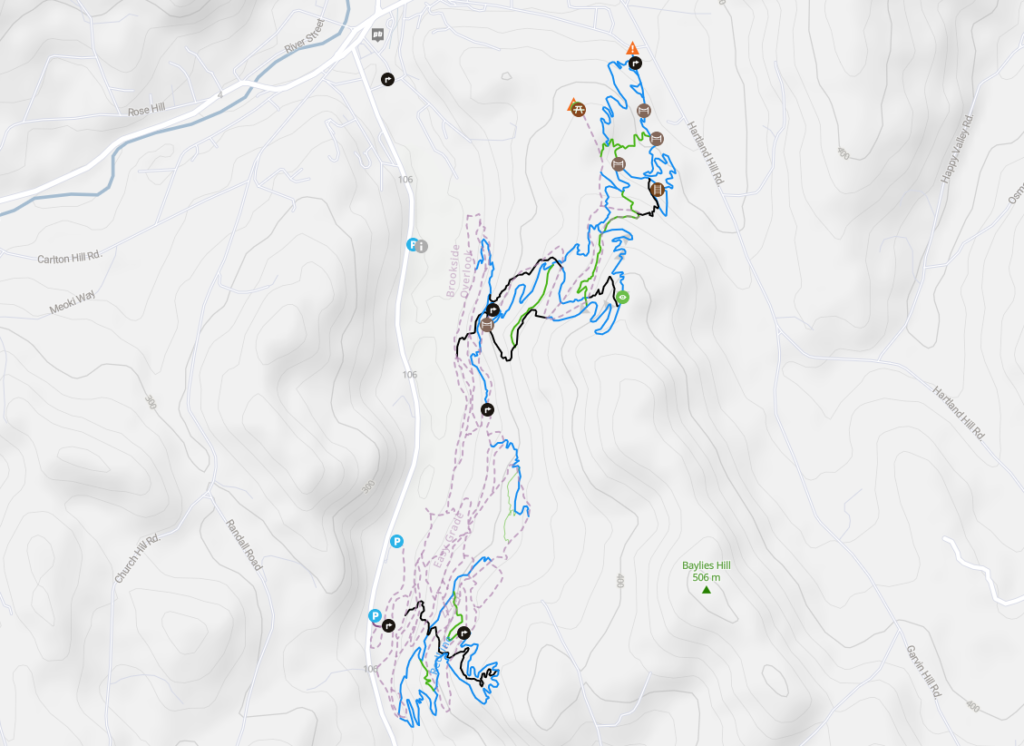
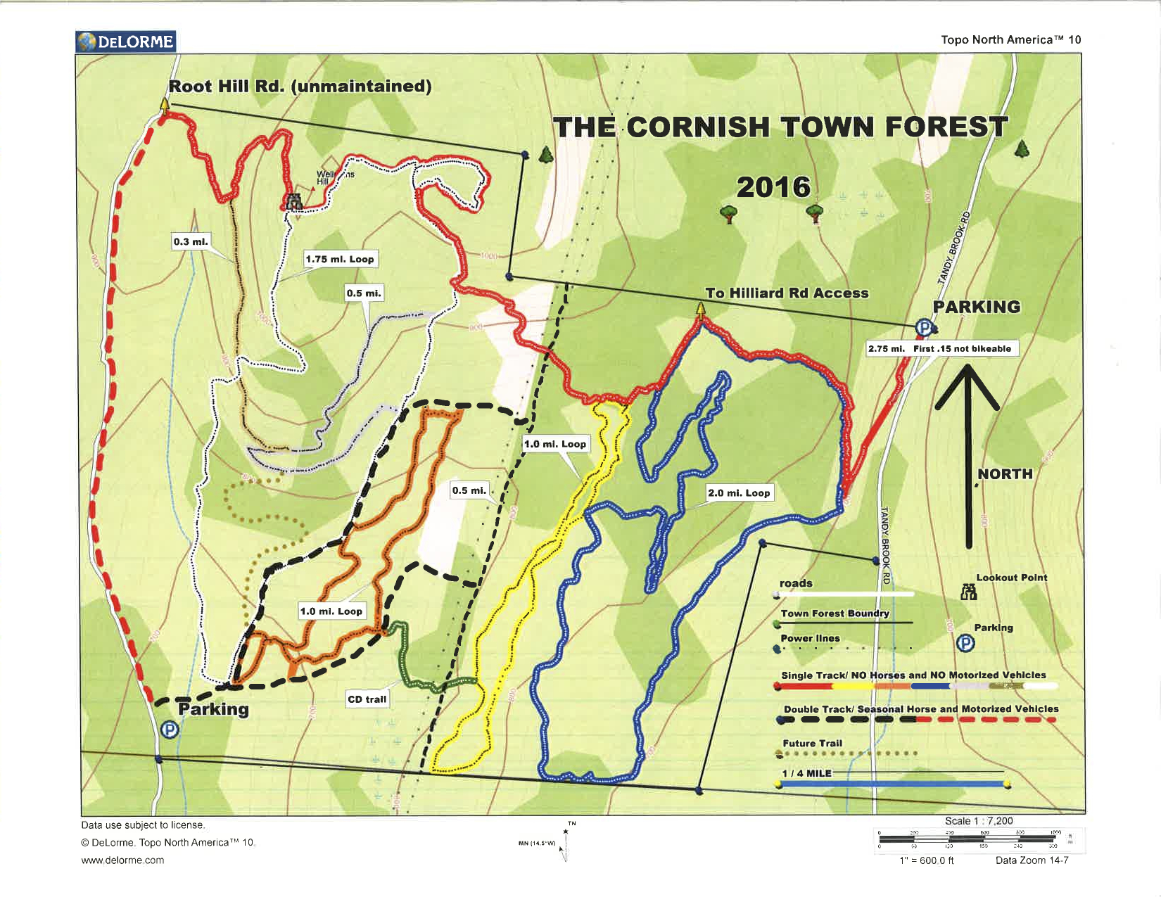
The Cornish Town Forest has become our favorite go-to trail network for a traditional singletrack workout. With a view from the lookout facing the eastern slopes of Ascutney mountain, it is one of the best in the Upper Valley. The trails are easy to navigate and comprised of four loops (white, orange, yellow, and blue) connected at the top by the red trail, which takes you to the Ascutney lookout. There are more trails north of the forest (not on map) connecting to the Hillard Road access trail that offers alternate routes to the lookout.
The two access points are Paddy Hollow/Root Hill Road and Hillard Road. If your vehicle has high enough clearance, you may drive the few thousand feet up Root Hill Road (Class VI) at the end of Paddy Hollow to the parking area or park near the end of Paddy Hollow. For the Hilliard Road access park at the foot traffic entrance (red trail) to the forest along Tandy Brook Road and bike to the Hilliard Road trail entrance. There is no parking on Hilliard Road.
Our favorite trail is the steep descent from the lookout on the white trail.
Location: Cornish, NH Acreage: Approx. 270+ Number of Trails: 15+ Miles of Trails: 10+ Skill Level: Intermediate to Expert Features: Lookout and vernal pools.
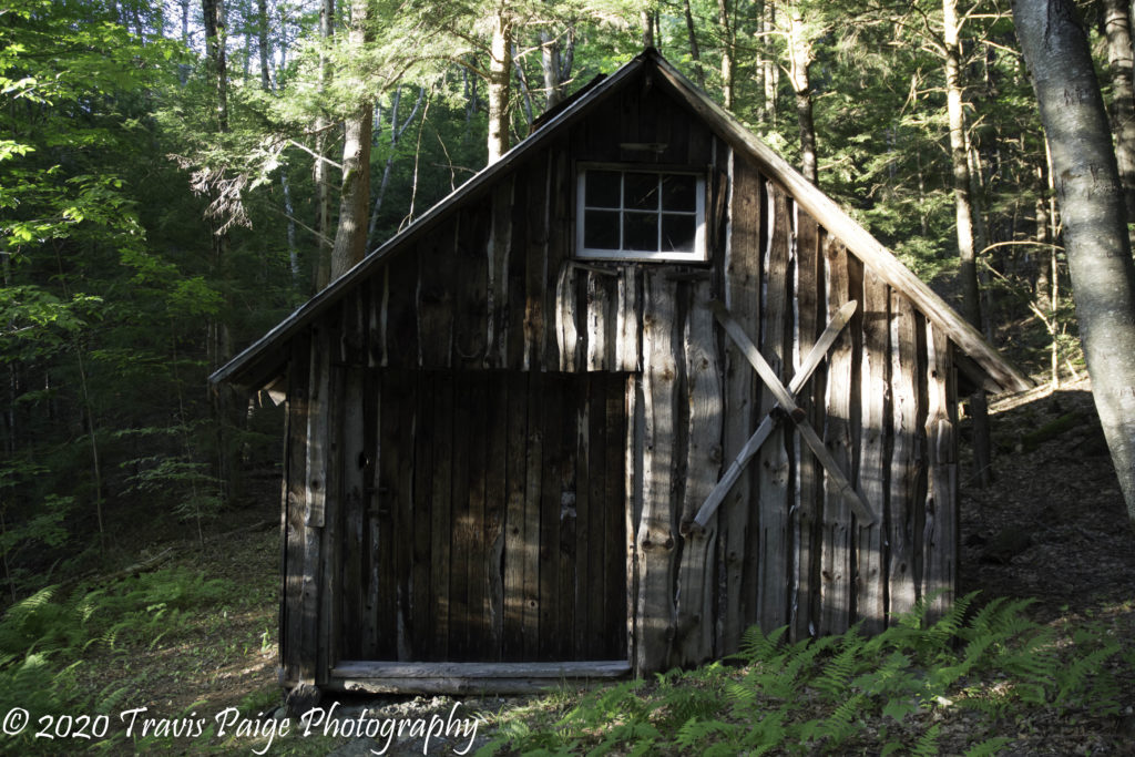
Lipfert Forest is worth a visit, especially if you are already taking a ride in the Cornish Town Forest. They both share the same Class VI road for access. All the trails are situated on private property for public access. The land once belonged to King Elm, Balloch, Haubrich, and Dahms farms. Old farm roads criss-cross the hill which makes up most of the trails. My son and I nicknamed these the fern trails because of the abundance of ferns. There is also the restored sugar house and remnants of old farms to explore.
It is best to access the Lipfert Trails from the Paddy Hollow Cornish Town Forest parking lot. This way, one can access both Lipfert Forest and The Cornish Town Forest with more central parking. There is also trail access from Rte 12A. Look for a driveway at the railroad track crossing just north of the Claremont/Cornish town line (1349 NH Rte 12A). If you drive up the driveway, you will see a trail map on a post at the trailhead. There is room for 3-4 cars.
The highlight of the property is the King Elm Farm Sugar House which can be found near the intersection of Bill’s Boulevard and the Sugar House Trail.
Location: Cornish, NH Acreage: Approx. 300+ Number of Trails: 12 Miles of Trails: 12+ Skill Level: Easy to Intermediate Features: Restored sugar house, chimney, and other building remnants.
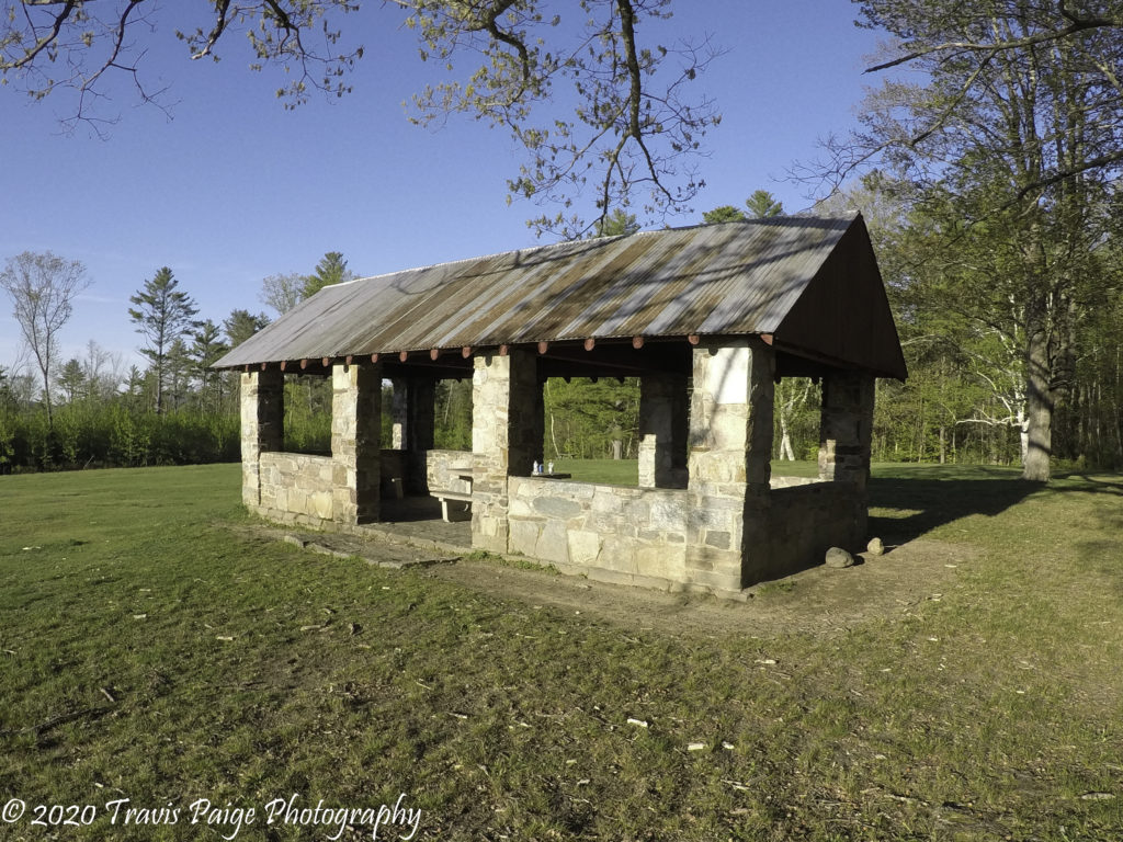
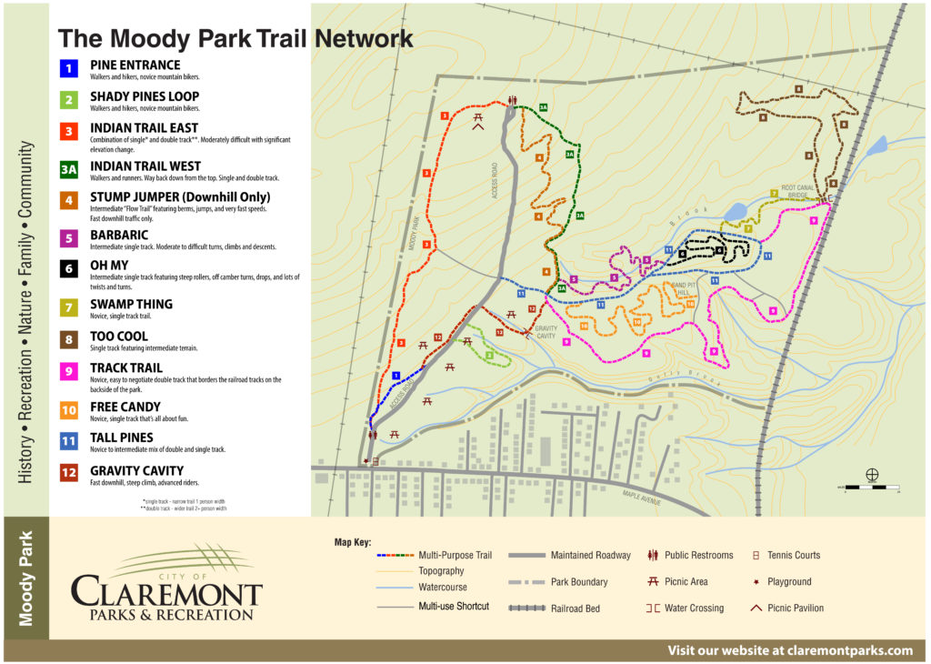
As a kid, I lived down the street from Moody Park and spent a lot of time there exploring, playing tennis, and cross-country skiing. We would take school field trips there to play capture the flag and baseball. In high school, our cross country running course began at the old baseball field. There were no mountain bike trails back then, but there are plenty now. If you are a beginner, there are flat winding trails to get you accustomed to mountain biking and natural singletrack trails, some with features like bridge skinnies as you advance.
Our favorite trail is coming down the Indian Trail East from the top of the access road. Another unique feature is a trail called the Gravity Cavity, which looks like the base of an old ski jump. It is very steep with a jump on one side and can be a little intimidating.
Location: Claremont, NH Acreage: Approx. 325+ Number of Trails: 12 Miles of Trails: 8+ Skill Level: Easy to Intermediate Features: Picnic areas, pavilion, and playground.
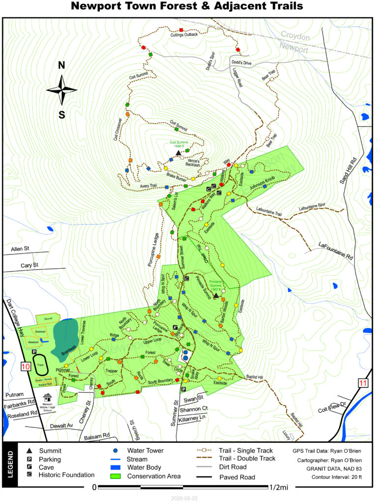
There are a lot of single and double track trails to explore in the Newport Town Forest. The lower section of trails is mostly intermediate single and double track. The easiest way to get to the top of the Pinnacle is to grab the Class VI portion of Summer Road. You can take the double track Upper Route trail from the school or park at the end of Summer Street. The trails north of the forest surrounding Colt Mountain are steep, rocky, or just plain gnarly. Expect a good workout from pushing your bike and be careful if the trails are wet. It will take a few rides to get familiar with the terrain, but it is worth the visit.
Our favorite trail is the Greenvilles Eastside Trail and it has a nice flow with large berms.
Location: Newport, NH Acreage: Approx. 200+ Number of Trails: 26+ Miles of Trails: 13+ Skill Level: Easy to Expert Features: Frisbee golf, playground, cave, and views.
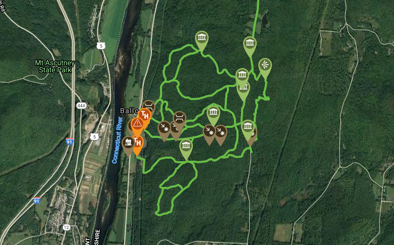
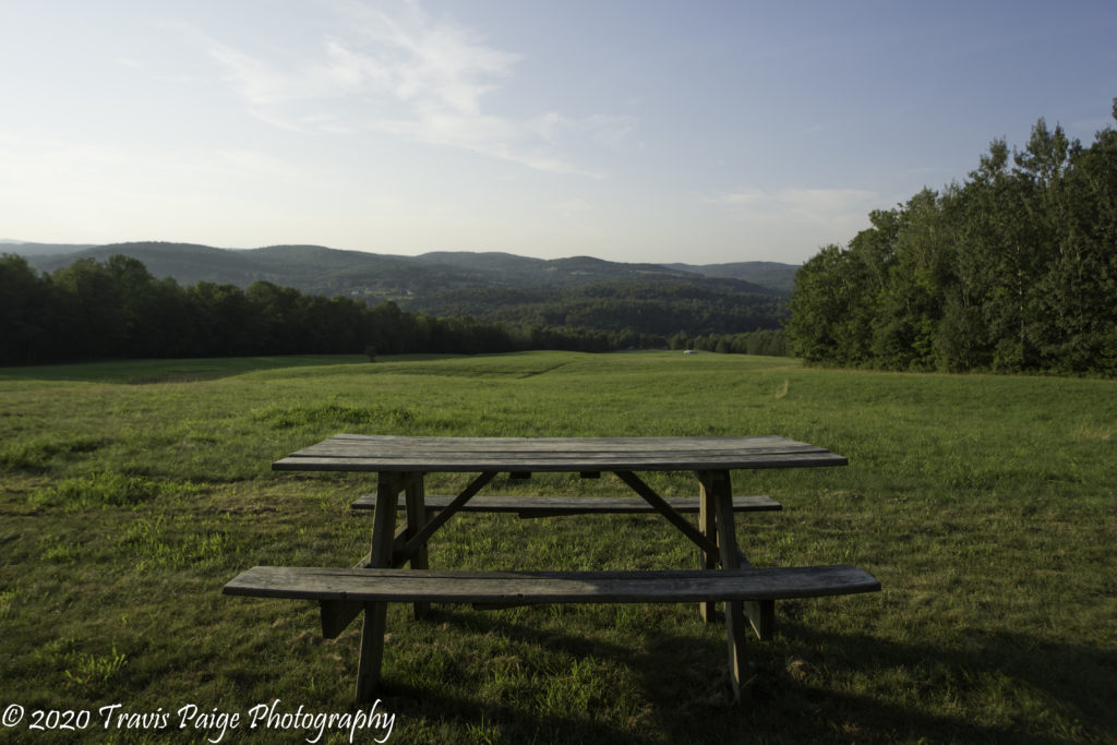
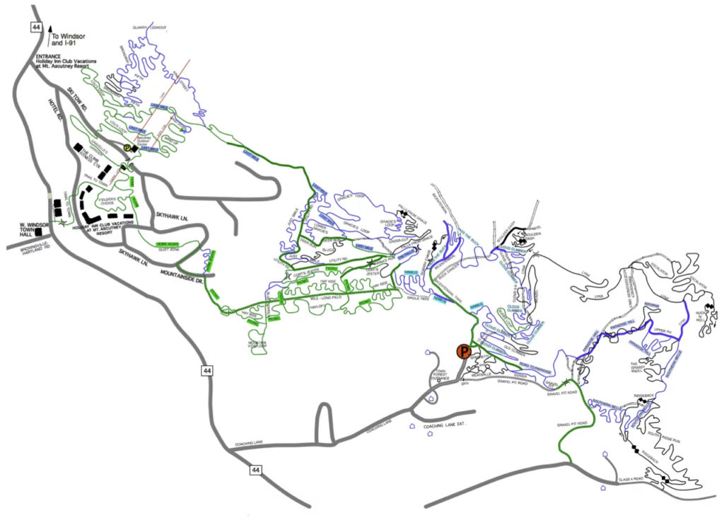
The Ascutney Mountain Trail System comprises of four unique trail systems. The Ascutney Trail Association maintains the trails, their motto is Hand Built – Iconic – Vermont, and their hard work is on display with some awesome twisting singletracks. The bulk of the trails located between the base of Mount Ascutney and the village of Brownsville can offer a full day of riding. They have opened up ten miles of trails to e-bikes accessed from the Ascutney Outdoors Center this year. There is also a small 3.5-mile kid-friendly trail network opposite from the Mt. Ascutney State Park entrance that also has access to the Weathersfield Town Forest, which will have some new MTB trails soon.
Our favorite trail was Pass the Buck and the scenic views from the picnic tables in the Mile Long Field.
Location: Brownsville, VT Acreage: 1500+ Number of Trails: 90+ Miles of Trails: 35+ Skill Level: Easy to Expert Features: Picnic tables, waterfalls, an old quarry, Ascutney State Park, and great views.
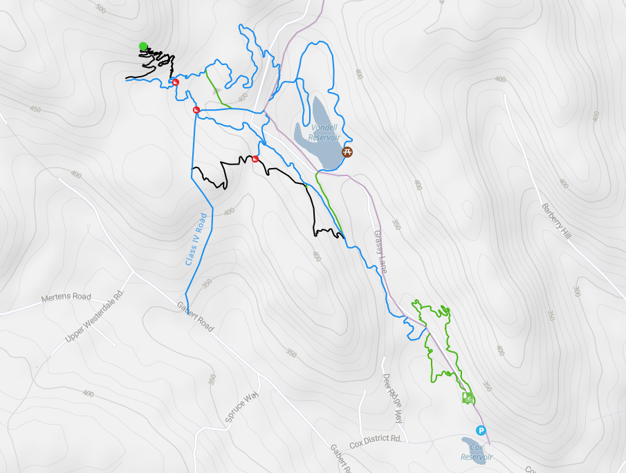
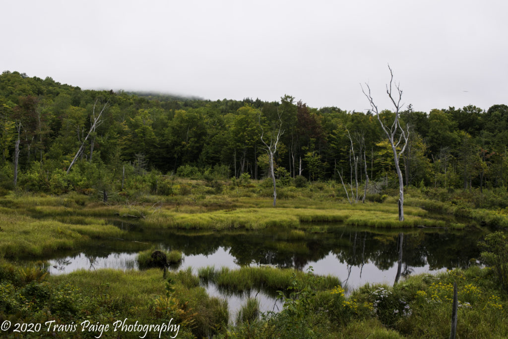
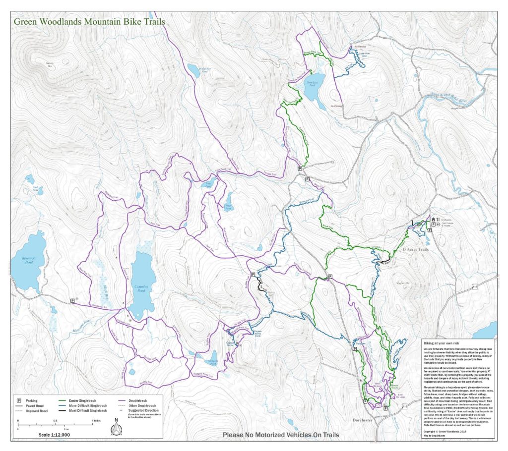
The Green Woodland trails are by far some of the best in the Upper Valley. With upwards of seventy miles of well thought out machine-built lines through the woods, these trails boast endless berms, bridges, and rollers coasters. There are multiple parking areas within the 35 square miles of conserved land to access the section of trail that you would like to explore that day. At the first parking area off from Dorchester Road, there is a small skills course. The Town House Trail connects all three lower parking areas.
For easy access to the best downhill section (which is from the top of Norris), I would park at the second parking area off from Dorchester Road opposite the Quimby Trail, which is the easiest trail to climb to the top. The northern reaches of the Greens has some of the best scenery near the Town Line Pond (park at the Clough Road parking area). The twisty bermed infested Cellar Hole loop is worth a visit and make sure to take the small spur trail to the pond for a wide view of the water. If you would like to a dip, there is a swimming hole on the brook trail, just south of where the Norris Trail ends.
The best mountain views can be found on top of Norris along the Norris Trail, from the warming hut at Captain Norris, and at the top of the Ledges Trail (which by-the-way is our favorite trail).
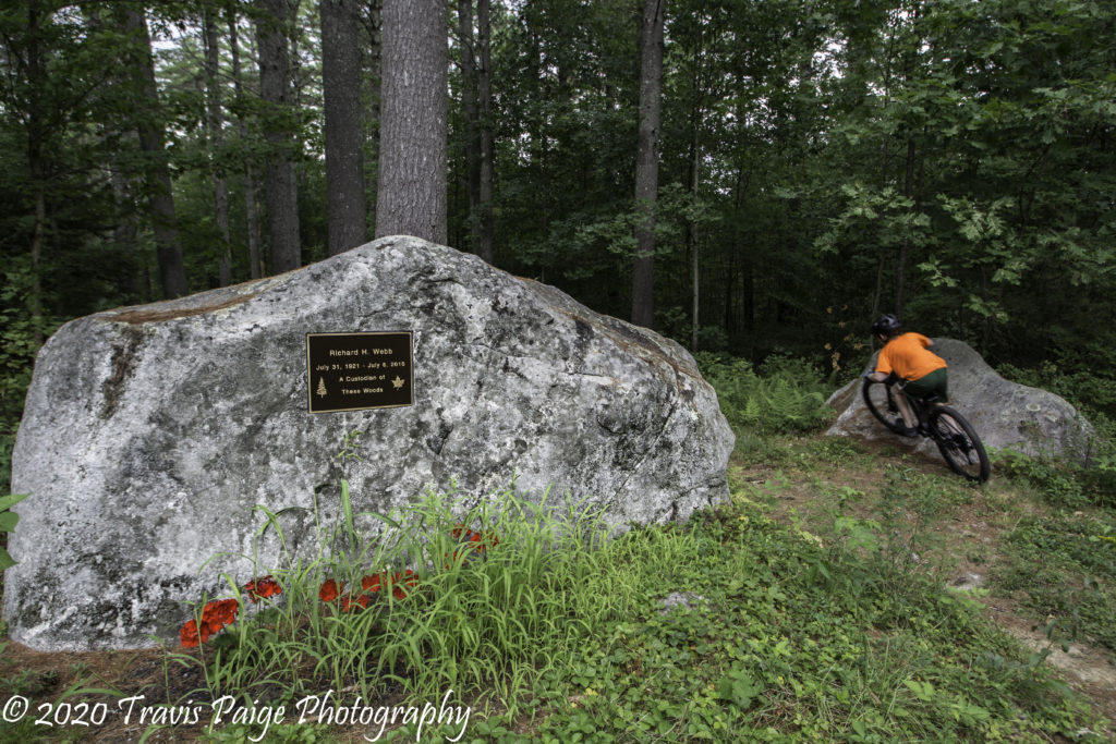
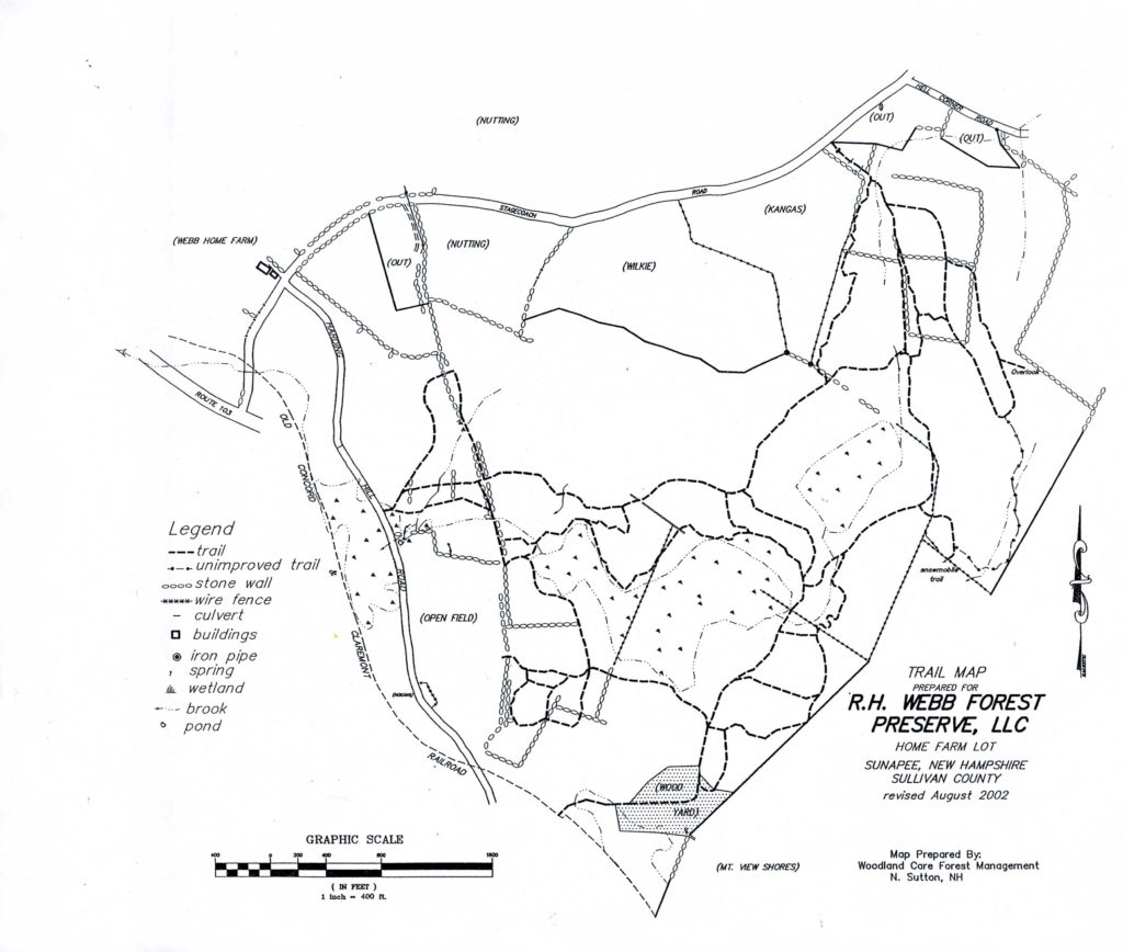
I found out about the Webb Forest Preserve (not to be confused with the Webb Forest in neighboring New London) by seeing it mentioned on an older website. The only map I could find was from 2002, but the existing trails seem to match. It is home of the NECS Horror at Harding Hill X-Country MTB race and Frenzy in the Forest trail running race.
The trails remind me of the lower trails found at French’s Ledges or the trails at Lipfert Forest and there is nothing too steep or gnarly mostly old farm roads with some singletrack loops branching off. The overlook is now overgrown with not much of a view of Mt. Sunapee, but it would be a great place for a picnic lunch. On the western side of the preserve, the trails give access to some beautiful fields that run along Harding Hill Road. In the southwest corner, you can find the memorial dedicated to Richard H. Webb.
Overall, this is a great trail system to have a nice ride with some easy to moderate challenges and is a great place if you are learning the sport.
Trailheads: Stagecoach Road Harding Hill Road
Location: Sunapee, NH Acreage: 376+ Number of Trails: 25+ Miles of Trails: 15+ Skill Level: Easy to Intermediate Features: Open fields and wide trails.
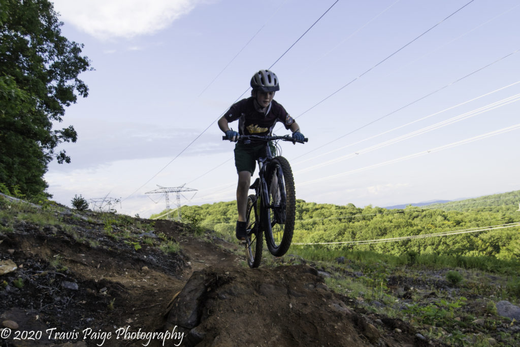
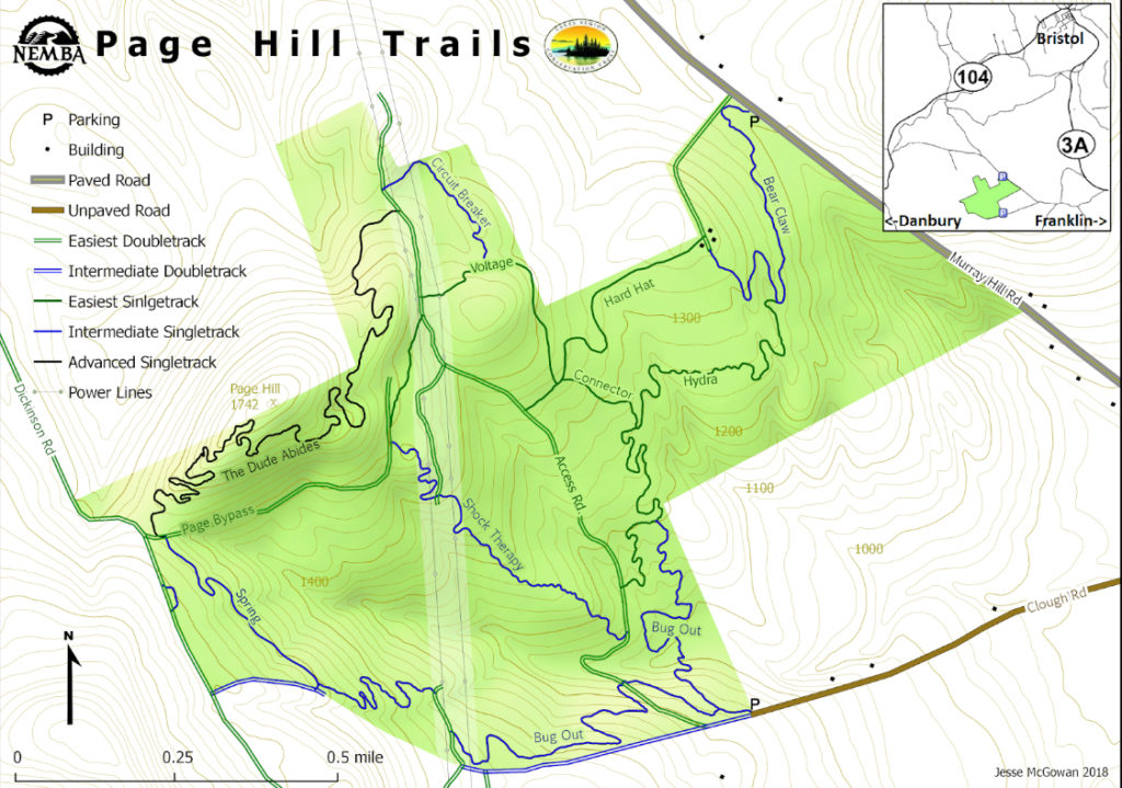
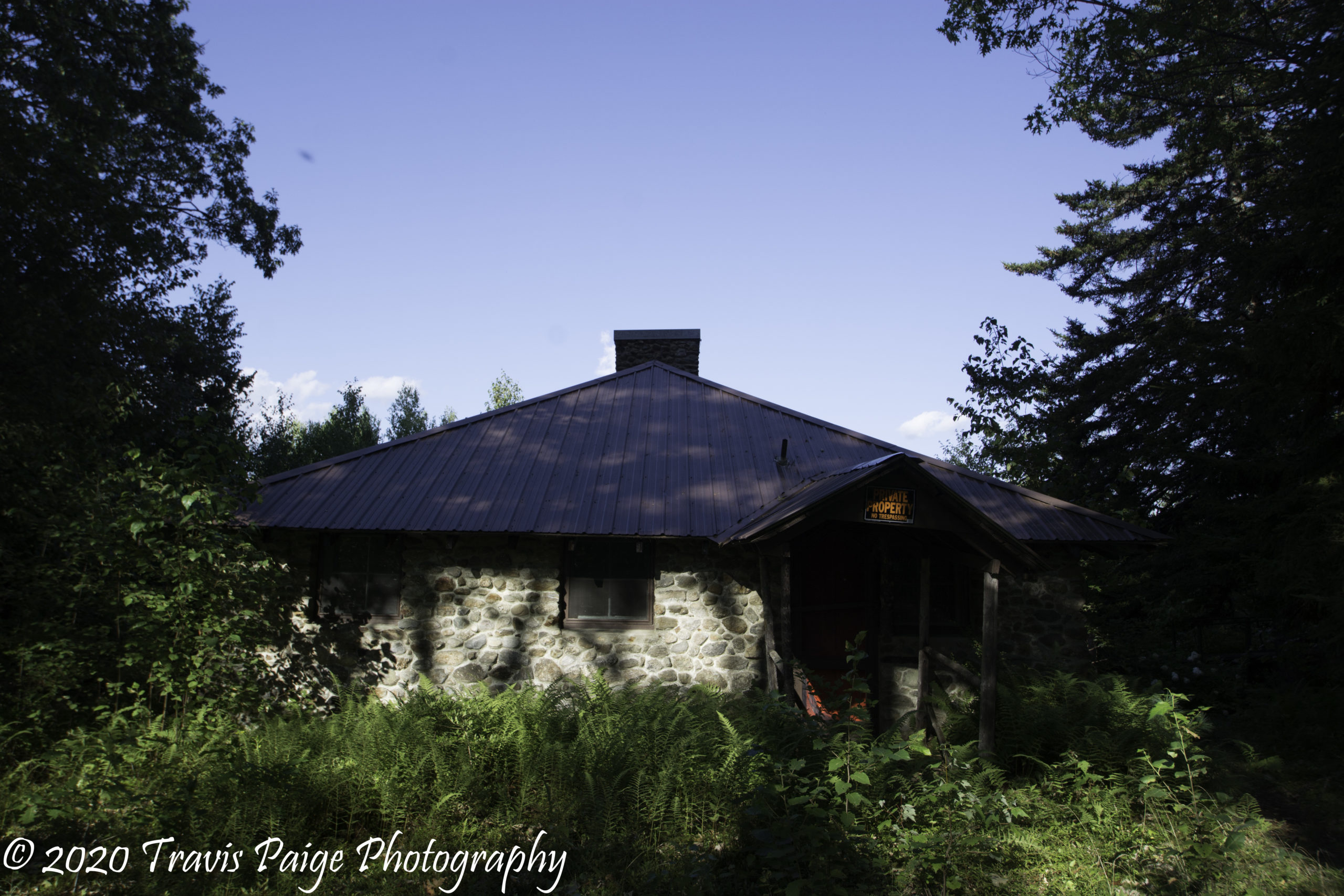
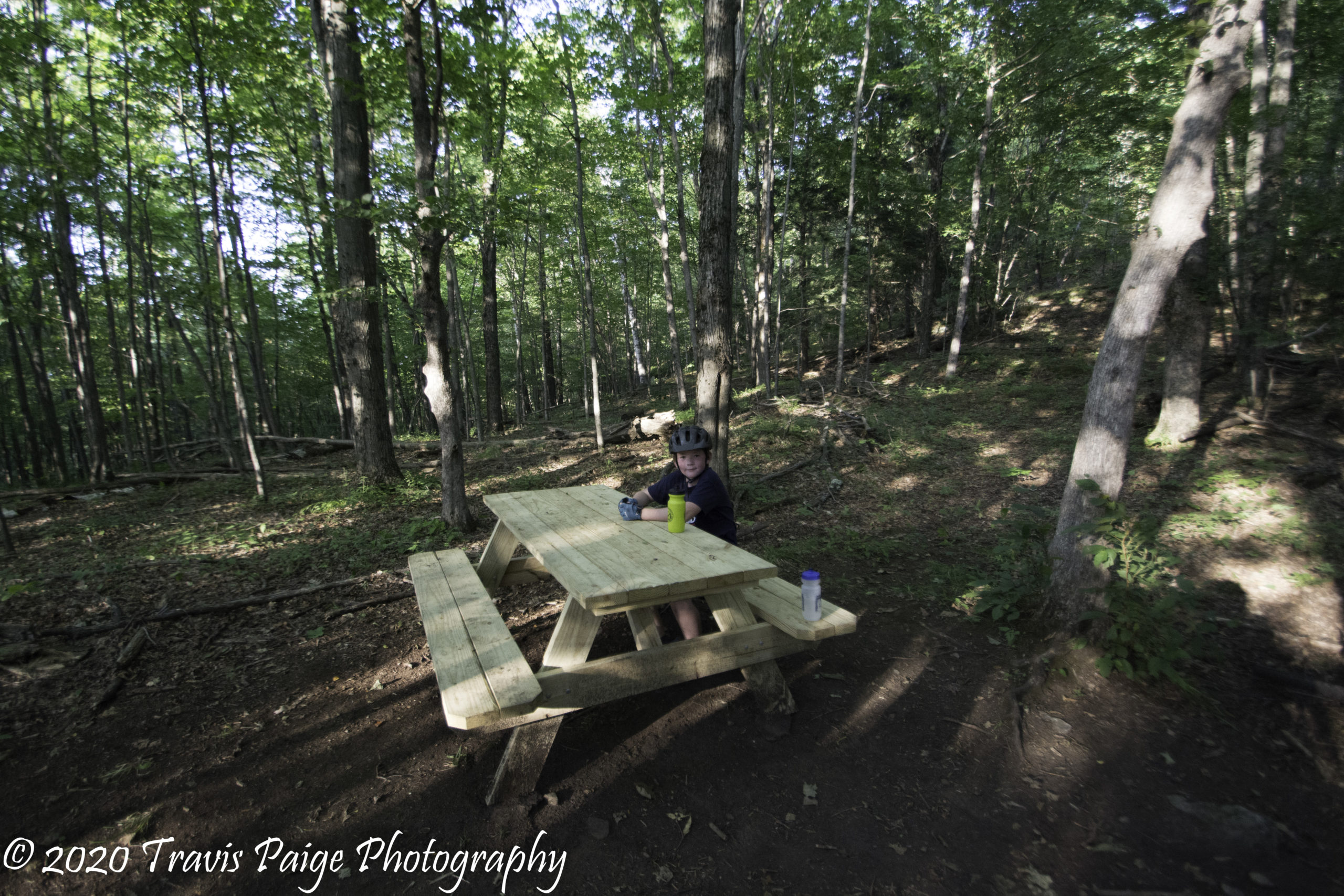
Another pleasant surprise was Page Hill. Hand-crafted trails built by the Central New Hampshire Chapter of NEMBA, the Bear Claw Trail takes you from the main parking lot. The first thing we noticed was the roots! If I have my tree species correct, it was mostly Beech trees, which have a very shallow root system. At the top of Bear Claw, there is a group of old cabins, including one built out of local stone.
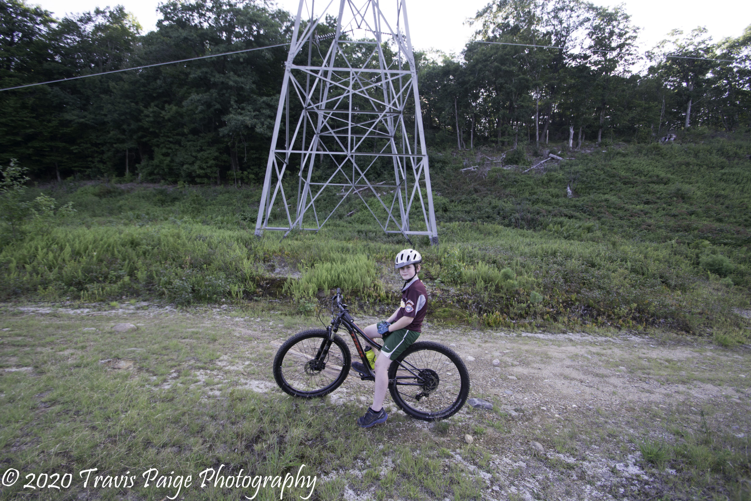
The next feature of interest is the towering power lines. One would not think of power lines to be aesthetically pleasing to the eyes, but they did here with the expansive views from the top. Plus, add in the zapping and buzzing sounds of electrons moving through the lines for a cool extra effect. When you reach the hand-made bench at the top of Shock Therapy, this is where the fun begins. It is 3400 feet of pure happiness, first zig-zagging you through berm abundant turns and jumps under the powerlines and then into the woods to the bottom.
The biggest trail challenge on the hill is The Dude Abides Trail. Our favorite trail, of course, is Shock Therapy.
I hope you liked this write up of local places to ride. Please feel free to add comments about your mountain bike experiences in the Upper Valley. If I missed a place, please comment or send me an email. I would love to hear from you.
I also want to thank my wonderful daughter, Chelsea Paige, for being my editor on this piece.
Enjoying the View-Cornish Town Forest
Bridge on the White Dot Trail-Boston Lot
Bridge at Farr Fiield-Hypertherm Trails
Signage at Hurricane Hill
Trescott Road Sign-Trescott Lands
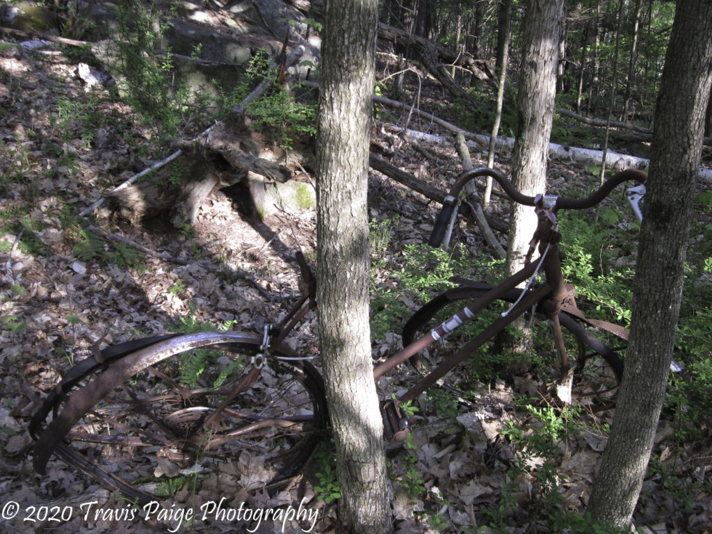
Abandoned Bike-APD Trails
View from Ivory Trail-Whaleback
On the top of French's Ledges
Gile Mountain Fire Tower
View from Union Village Dam
At the top of Charlies-Mount Peg Trails
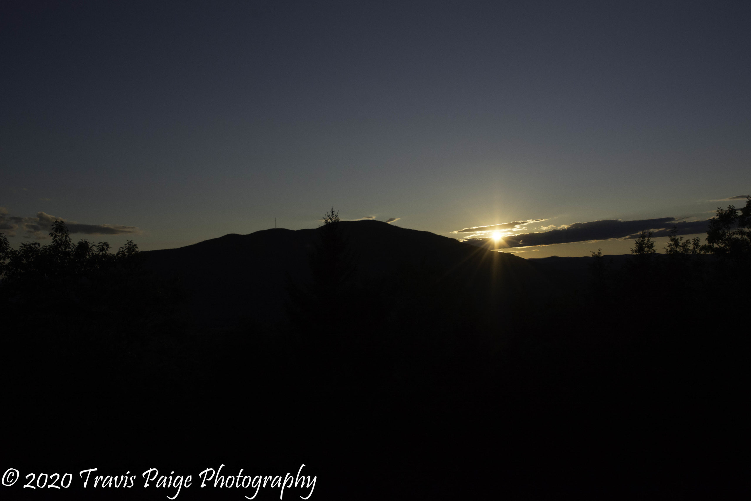
Sunset at Cornish Town Forest
Restored Sugar House-Lipfert Forest
Wallride on Shooter trail-Aqueduct Trails
Marsh at Town Line Pond-Green Woodlands
Taking the First Jump on Shock Therapy-Page Hill
Taking a Break on the Top of Pinnacle-Newport Town Forest
Bought our retirement home in Quechee last year. Then discovered Morning Daybreak that connected me to you this morning. Love your photos. Thanks for the comprehensive mt bike piece! Just ordered a new bike so off I go…
Where are the easiest trails to ride? I am a rider that has a disability (makes unclipping an issue at times). I need no roots or sharp rocks to hit. Climbs are fine. Smooth (ish) single track or double track ideal – no crazy bridges, berms, etc. Balance and unclipping are the issues. Awesome list – all I knew about was Union Village, Boston Lot, and Greens prior to seeing this list. Thank you!
Hello John, Unfortunately, not many places without roots. The Greens is the best, but I would also try French’s Ledges, Webb Forest Preserve, and Lipfert Forest. They all have nice doubletrack trails. I would also check out sections of Trescott and Oak Hill. Have you thought about going to a nice platform pedal to make bailing out easier? You lose a little power, but with the studs on the pedals, they stick to your feet. Let me know if you need any help finding these places.
Thank you for info; sorry for delay in replying – I have been out at Greens lately – 6 Mile Trail and Black Bog Trail on Lyme side of system have been great for me. I switched to SHIMANO SH56 Multi Directional Release SPD Cleats a couple years ago ad having the multi release has been very helpful in coming unclipped when I want – despite foot drop. I paired with this pedal – SHIMANO PD-EH500 – one side is platform and other side is clipless – I use one side for when less technical. I’ll check out your other recs. Great guide- thx again.
Hello John, Thanks for the information. We just tried the trails at Bear Brook State Park. It has a great trail system with trails with few roots and shorter hill climbs. I would check it out if you have not been. You just need to preregister before you go on their website. I think it is a dollar.
This is a nice post on biking trails; it is very detailed with good descriptions. I understand the need and desire for mountain bike trails. I do feel it would be useful to add to your intro a few words about respecting hikers and hiking trails. I’ve seen far too many bike treads in areas that are fragile and should only see “feet”. In the spring trails are muddy and especially susceptible to damage and many trails are fragile at all times. If trails become mud pits, eroded, and unusable, then both bikers and hikers will lose out.
There is also a safety factor: In Union Village Dam area the same trails are used by both bikers and hikers. They are narrow and some you can’t see far ahead, so always good to have a reminder that in certain areas you may encounter either other bikers, or those on foot. Let’s all get out there by whatever mode of transportation, have fun, and be safe!
An update to Moody Park. My son and I went back recently and found a new trail that was closed when we visited earlier in the year. The Stump Jumper Trail is a must trail to check out. A fast trail with berms, jumps, and table tops. Here was our view from the top with a beautiful view of Mt Ascutney.
Thanks for the trail info. I’m interested in the French’s Ledges trails and you mentioned the favorite was the secret trail. How do we find this. I can’t find it mentioned anywhere.
Hello Shelly, I know there are no complete maps online. The map kiosks at the trailheads will show the Secret Trail. There are two ways to access the trail. The easiest way is to start taking the French’s Ledges Trail from the top. At the first trail junction (after a dip in the trail just below the ledges) go right and stay straight ( This trail is called “something” Farm Trail). If you go over a difficult skinny bridge you know you are on the right trail. When the trail comes to a clearing (where it has been logged) keep an eye out for a trail to the left. The trail is marked with a sign. The trail will take you back to the bottom. I would rate this as intermediate.
This is a great guide! Thank you for taking the time to put together this information. There are a bunch of trail systems on here I hadn’t heard of and want to go check out!


15 Comments
Tom Hankins
Bought our retirement home in Quechee last year. Then discovered Morning Daybreak that connected me to you this morning. Love your photos. Thanks for the comprehensive mt bike piece! Just ordered a new bike so off I go…
Travis Paige
Hello Tom, I am glad you liked the post. Enjoy your new bike and let me know if you need help finding a place to ride.
uvrider
Where are the easiest trails to ride? I am a rider that has a disability (makes unclipping an issue at times). I need no roots or sharp rocks to hit. Climbs are fine. Smooth (ish) single track or double track ideal – no crazy bridges, berms, etc. Balance and unclipping are the issues. Awesome list – all I knew about was Union Village, Boston Lot, and Greens prior to seeing this list. Thank you!
Travis Paige
Hello John, Unfortunately, not many places without roots. The Greens is the best, but I would also try French’s Ledges, Webb Forest Preserve, and Lipfert Forest. They all have nice doubletrack trails. I would also check out sections of Trescott and Oak Hill. Have you thought about going to a nice platform pedal to make bailing out easier? You lose a little power, but with the studs on the pedals, they stick to your feet. Let me know if you need any help finding these places.
John
Thank you for info; sorry for delay in replying – I have been out at Greens lately – 6 Mile Trail and Black Bog Trail on Lyme side of system have been great for me. I switched to SHIMANO SH56 Multi Directional Release SPD Cleats a couple years ago ad having the multi release has been very helpful in coming unclipped when I want – despite foot drop. I paired with this pedal – SHIMANO PD-EH500 – one side is platform and other side is clipless – I use one side for when less technical. I’ll check out your other recs. Great guide- thx again.
Travis Paige
Hello John, Thanks for the information. We just tried the trails at Bear Brook State Park. It has a great trail system with trails with few roots and shorter hill climbs. I would check it out if you have not been. You just need to preregister before you go on their website. I think it is a dollar.
Kyle Chafin
This is a beautiful guide! Thank you for putting it together.
Travis Paige
Thank you Kyle!
Susan Gallagher
This is a nice post on biking trails; it is very detailed with good descriptions. I understand the need and desire for mountain bike trails. I do feel it would be useful to add to your intro a few words about respecting hikers and hiking trails. I’ve seen far too many bike treads in areas that are fragile and should only see “feet”. In the spring trails are muddy and especially susceptible to damage and many trails are fragile at all times. If trails become mud pits, eroded, and unusable, then both bikers and hikers will lose out.
There is also a safety factor: In Union Village Dam area the same trails are used by both bikers and hikers. They are narrow and some you can’t see far ahead, so always good to have a reminder that in certain areas you may encounter either other bikers, or those on foot. Let’s all get out there by whatever mode of transportation, have fun, and be safe!
Travis Paige
An update to Moody Park. My son and I went back recently and found a new trail that was closed when we visited earlier in the year. The Stump Jumper Trail is a must trail to check out. A fast trail with berms, jumps, and table tops. Here was our view from the top with a beautiful view of Mt Ascutney.
Shelley Saylor
Thanks for the trail info. I’m interested in the French’s Ledges trails and you mentioned the favorite was the secret trail. How do we find this. I can’t find it mentioned anywhere.
Travis Paige
Hello Shelly, I know there are no complete maps online. The map kiosks at the trailheads will show the Secret Trail. There are two ways to access the trail. The easiest way is to start taking the French’s Ledges Trail from the top. At the first trail junction (after a dip in the trail just below the ledges) go right and stay straight ( This trail is called “something” Farm Trail). If you go over a difficult skinny bridge you know you are on the right trail. When the trail comes to a clearing (where it has been logged) keep an eye out for a trail to the left. The trail is marked with a sign. The trail will take you back to the bottom. I would rate this as intermediate.
Travis Paige
I did find this map online:
http://www.meridentrails.org/wp-content/uploads/2019/12/FrenchsLedgesTrailMap_Nov2019_LowerRes.png
Elissa
This is a great guide! Thank you for taking the time to put together this information. There are a bunch of trail systems on here I hadn’t heard of and want to go check out!
Howard Horn
Travis, great article and pictures