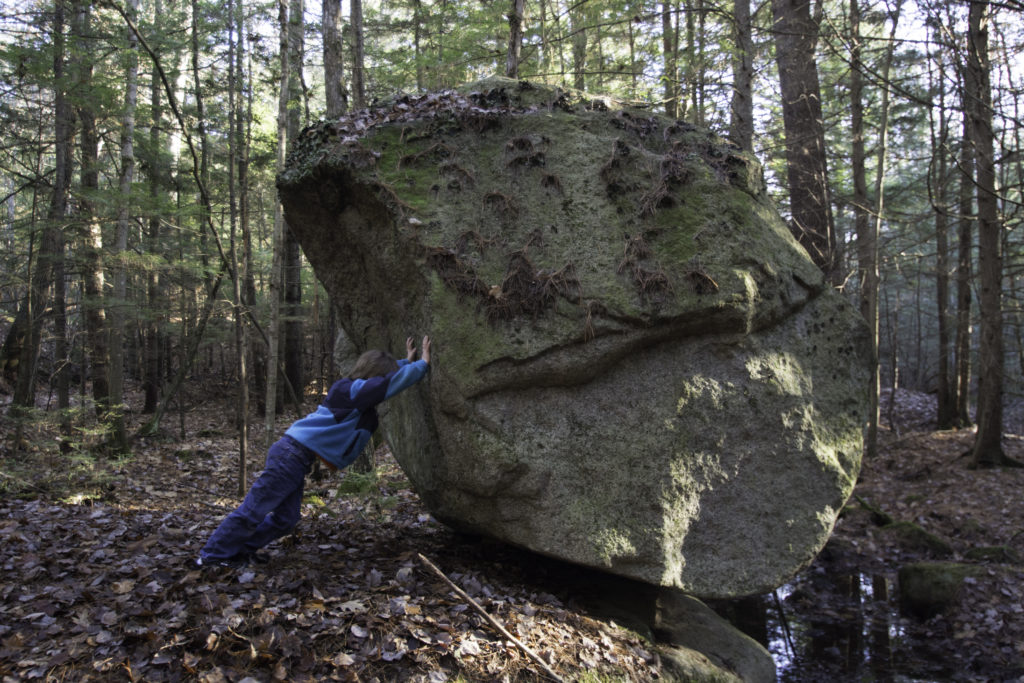
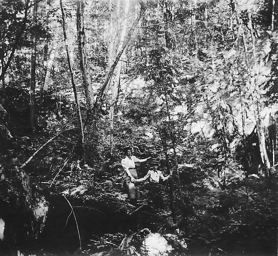
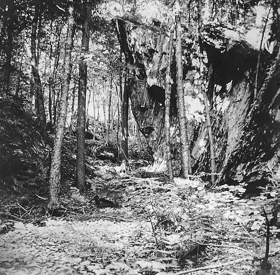
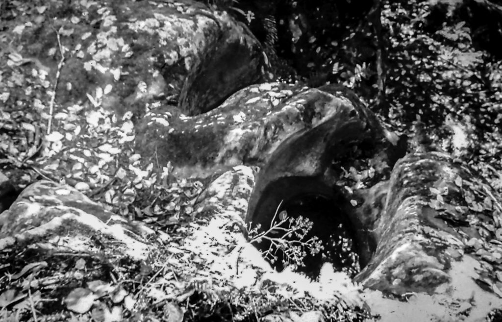
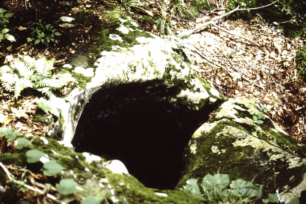
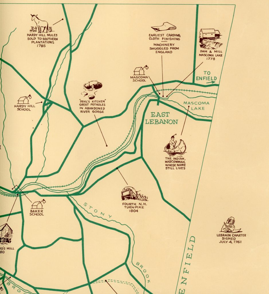
The Devil’s Kitchen – A Forgotten Attraction


You May Also Like
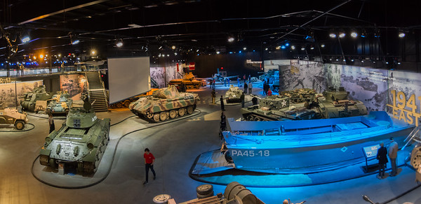
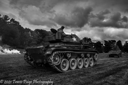
Collings Foundation-Capture the Airfield and American Heritage Museum Grand Opening 2018
The Covered Railroad Bridges