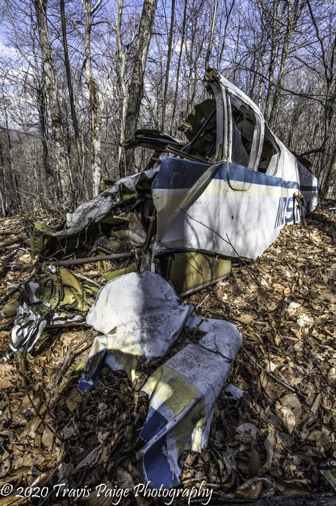
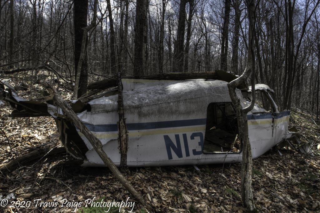
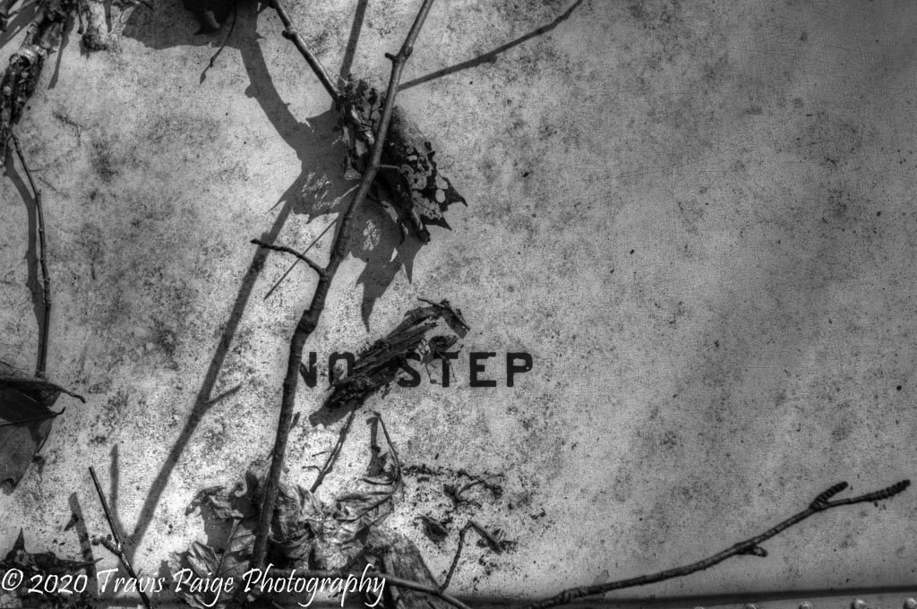
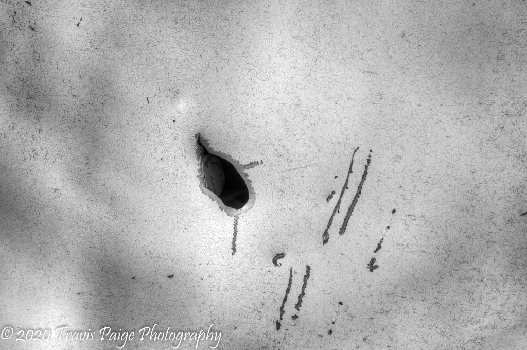
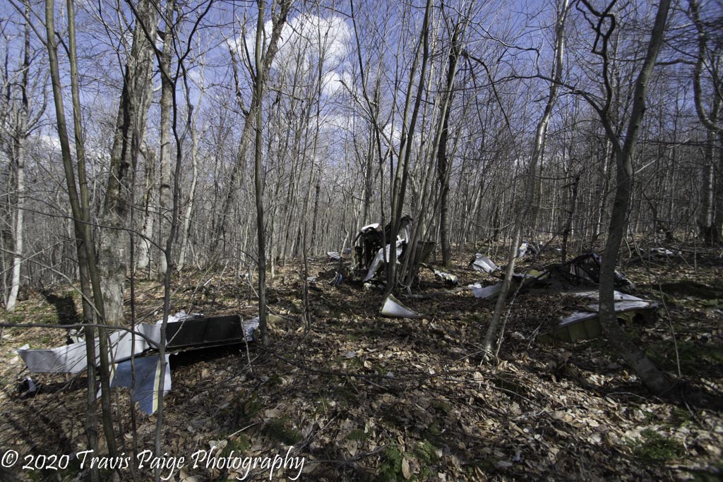
Aircraft,  Hiking,  Landscapes,  photography

The Forgotten Crash

This weekend’s Covid-19 hike was like a geocaching adventure, except the geocache was a downed airplane from the 1970s. Luckily, I had the coordinates for the crash site, which made it much easier to find. It is approximately a 1.5-mile trek to the site and only about 600 feet off the Appalachian Trail. I could not find much about the crash site except for a brief description on aviation-safety.net. The plane was owned by a courier service named Jim Hankins Air Services. It looks like they went out of business and was started in the 1950s. Maybe, when the libraries are open again, I will look for a newspaper clipping. To get to the site I would take Wolfboro Road from Three-Mile Road and when it crosses the AT, head south on the AT until you get to a sign marking the upcoming Shelter. Now go due east for approximately 650 feet (coordinates: 43.72483, -72.14737).

View of Wolfboro Road about a Half-Mile In.
My Adventure Partners
Crash Site is East of this sign.
Main Section of Wreckage
Old Wood Stove Along the Trail

More photos can be found on my website.

Leave a Reply

Your email address will not be published. Required fields are marked *